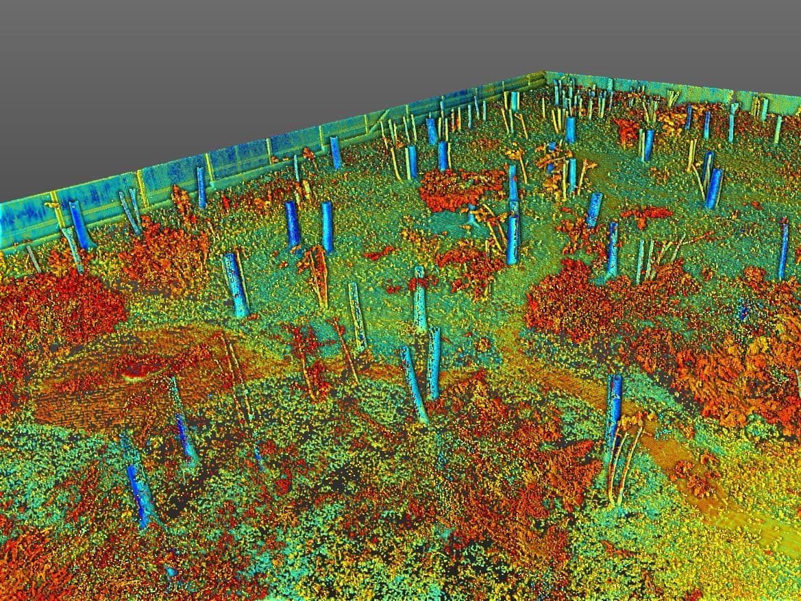
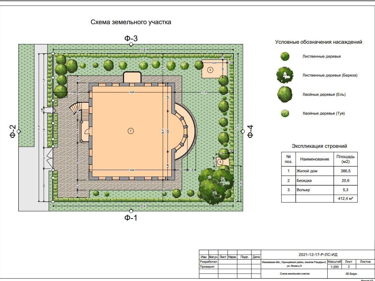
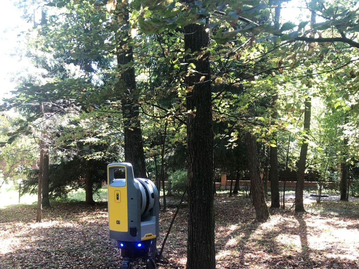
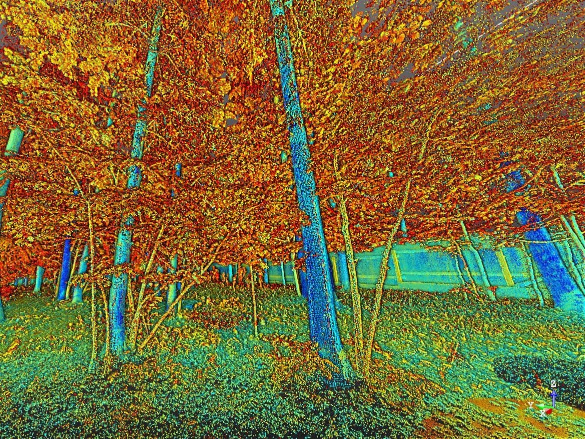
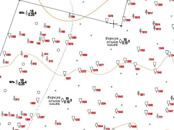
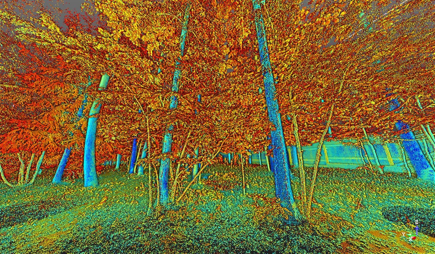
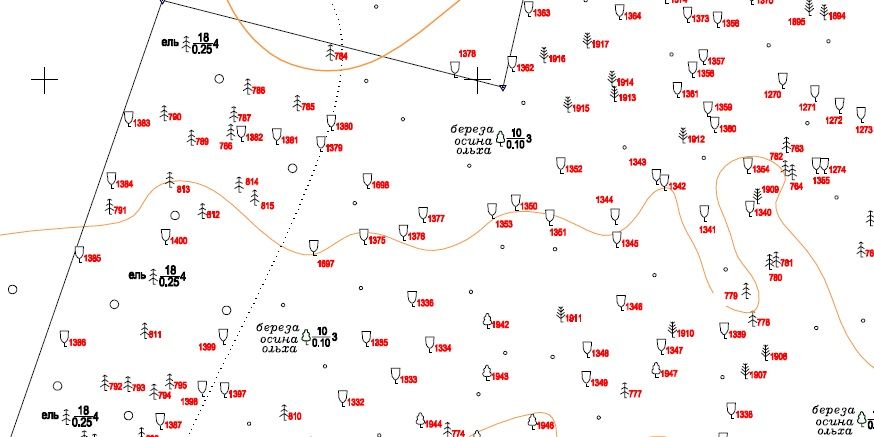
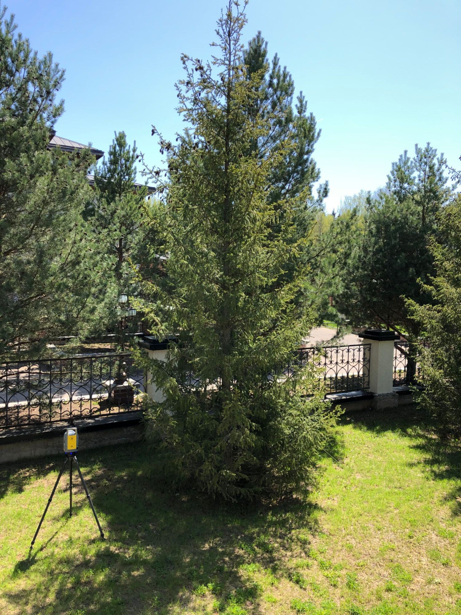
Laser scanning for tree survey and topography
The cost of the service includes:
- site visit
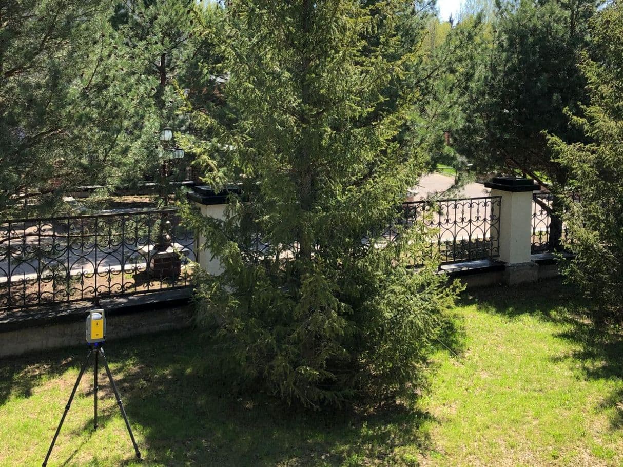
- laser scanning
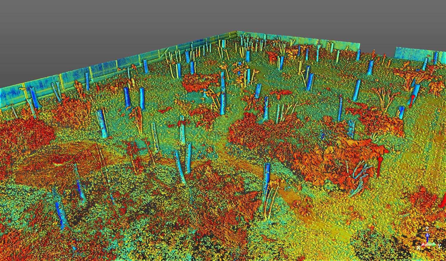
- registration and refinement of point clouds
- clearing the point cloud
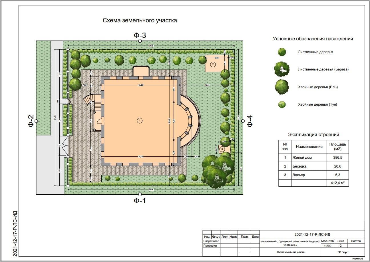
- measurement plan in AutoCAD or ArchiCAD
- a set of blueprints in PDF
- cloud storage space for placing blueprints and point clouds for 2 months
- site visit
- laser scanning
- registration and refinement of point clouds
- clearing the point cloud
- measurement plan in AutoCAD or ArchiCAD
- a set of blueprints in PDF
- cloud storage space for placing blueprints and point clouds for 2 months
Additionally paid:
- plans with determined tree species
- a list of trees and shrubs indicating their characteristics
- views, sections
- 3D landscape model
- topographic plans
- utility network plans
- urban infrastructure plans
- determination of the bulk materials volume
- determination of soil excavation volumes
- photo and video recording
- photo panoramas of the object
- coloring a point cloud
The cost may be increased in the following cases:
- construction waste, construction and covering materials, other obstacles are on the scanning site
- people and animals are constantly on the scanning site
* in such situations, the cost increase is from 30%
