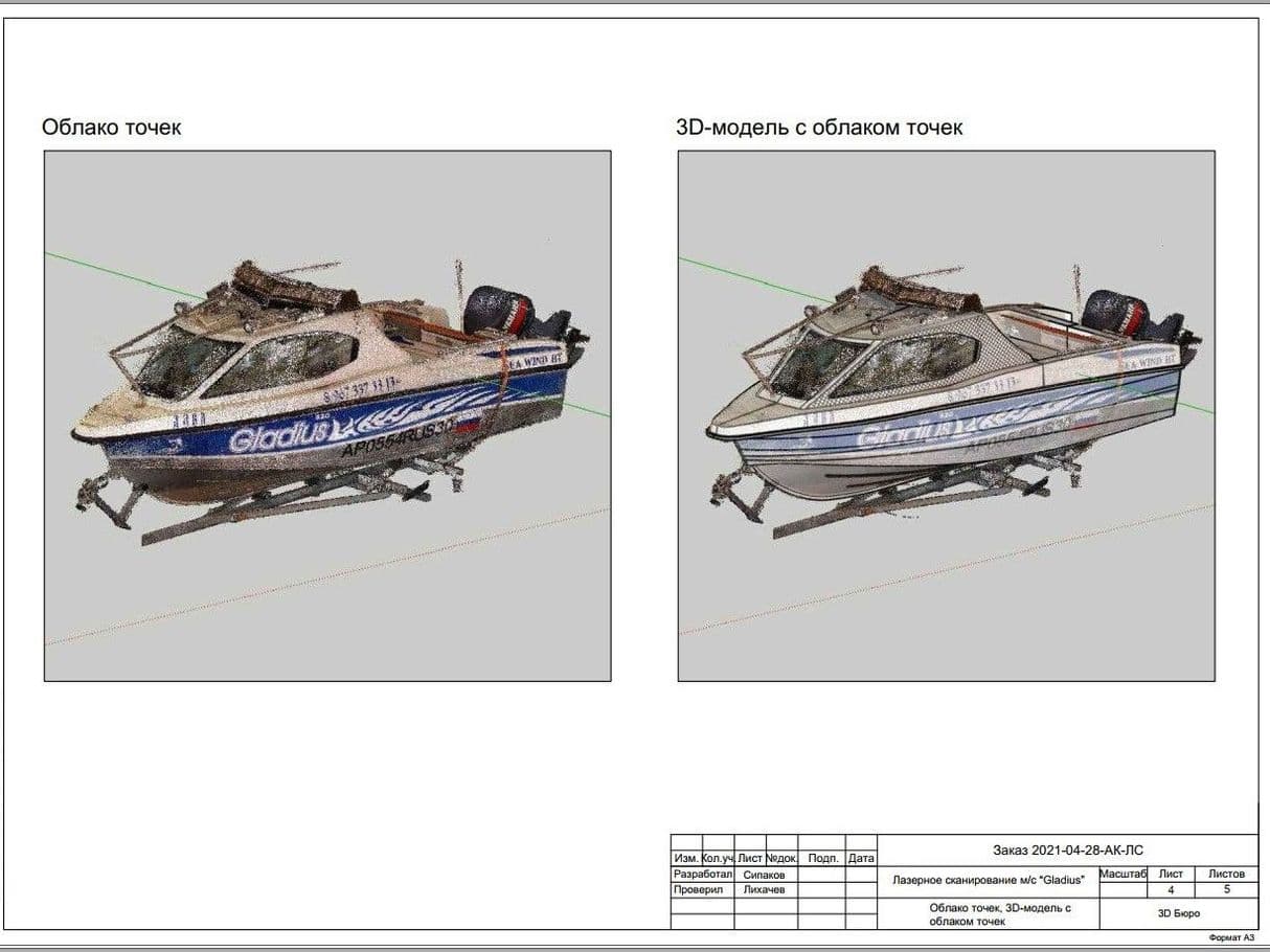
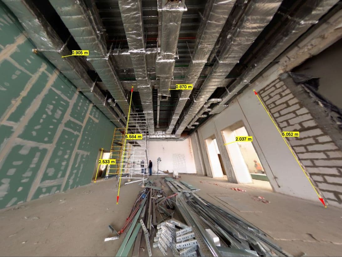
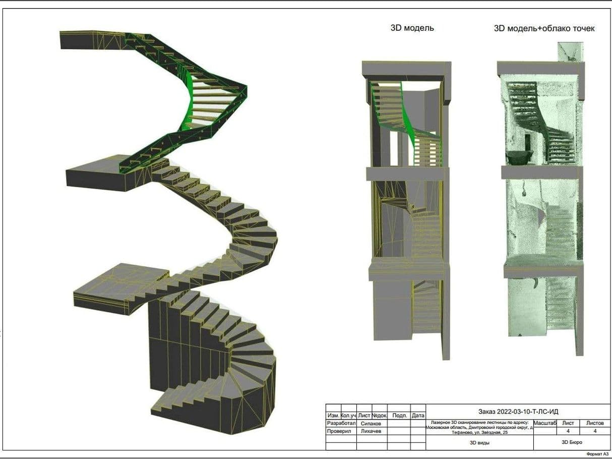
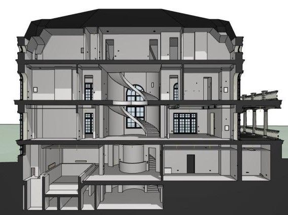
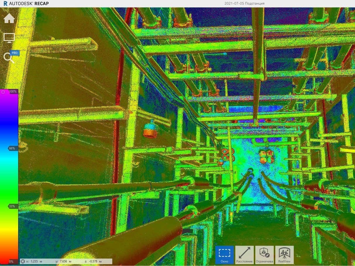
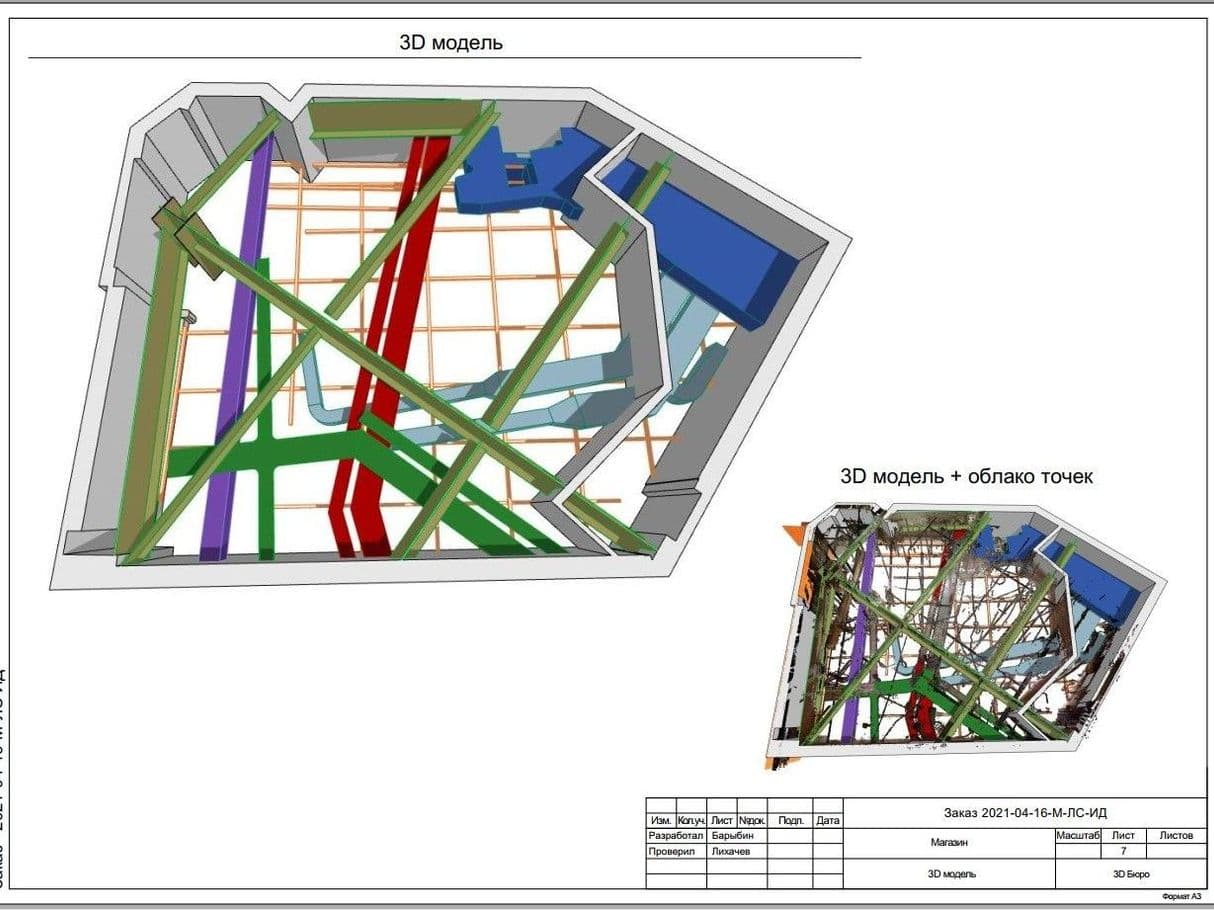
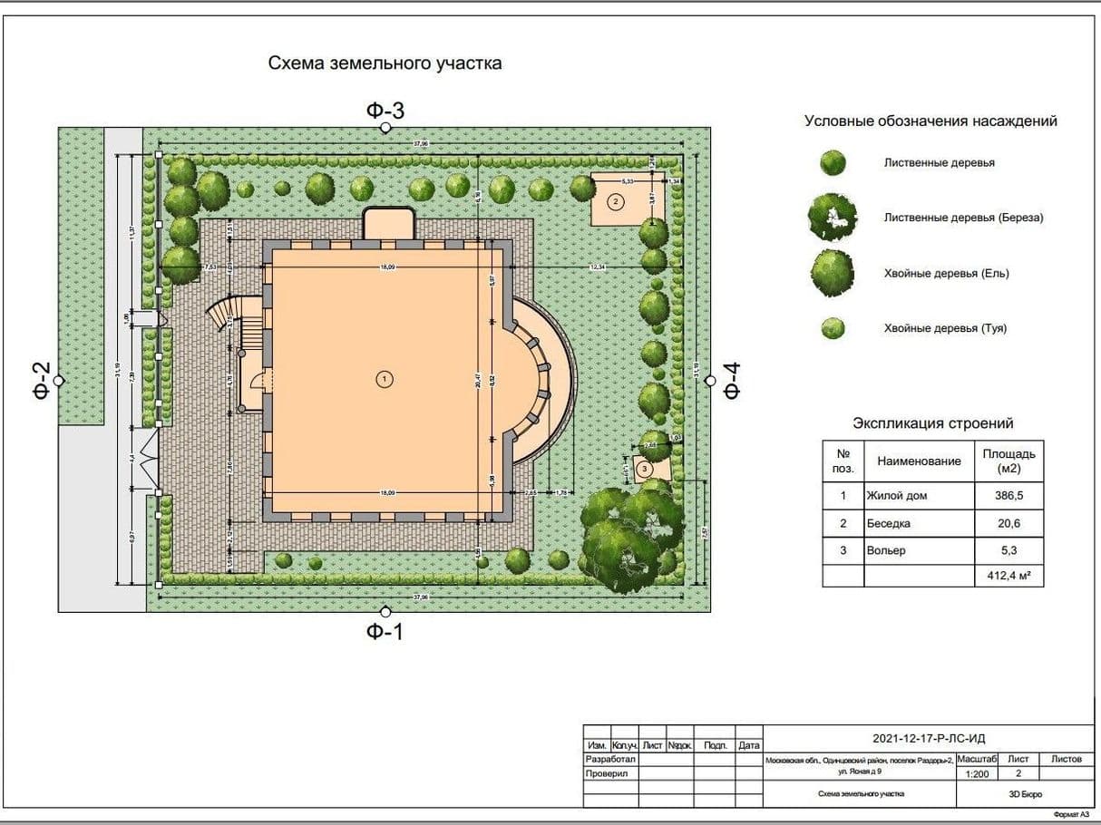
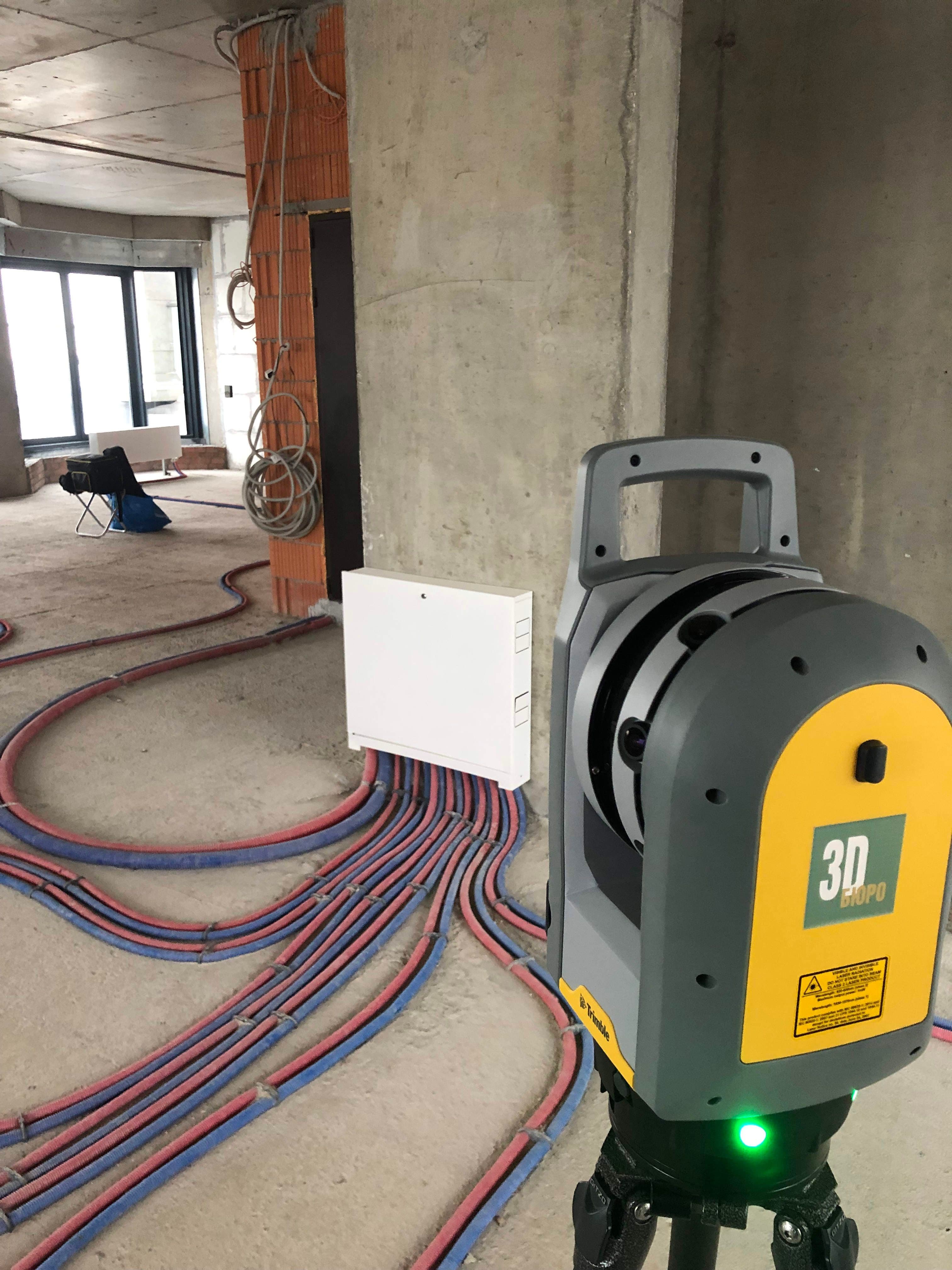
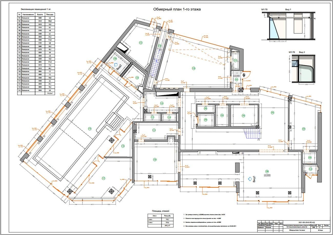
The result of the work that you can get:
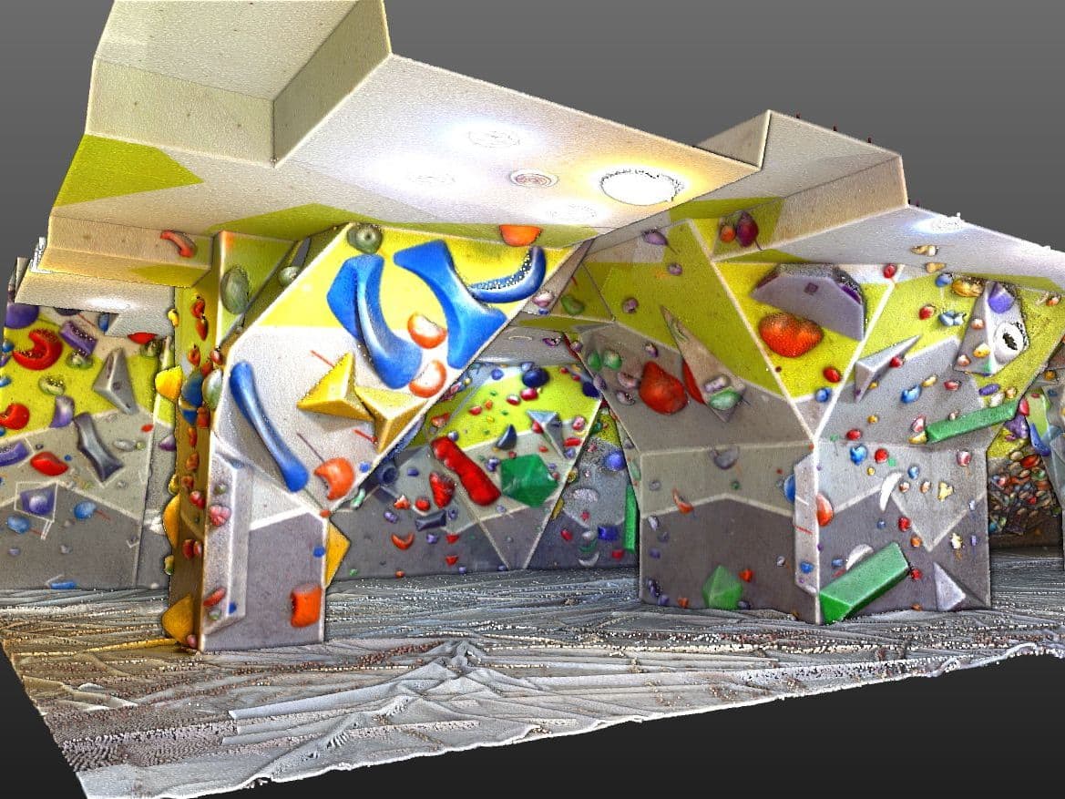
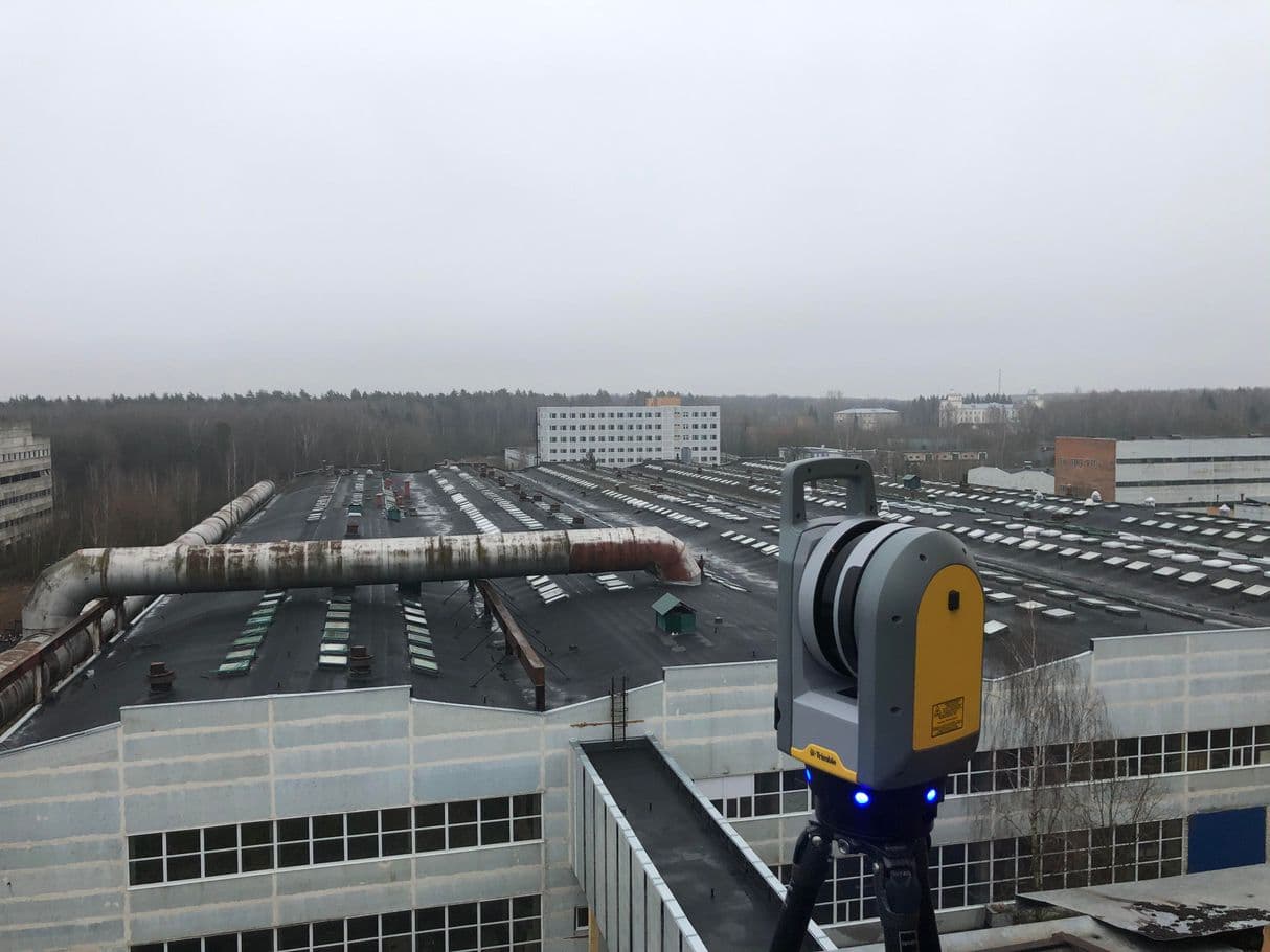
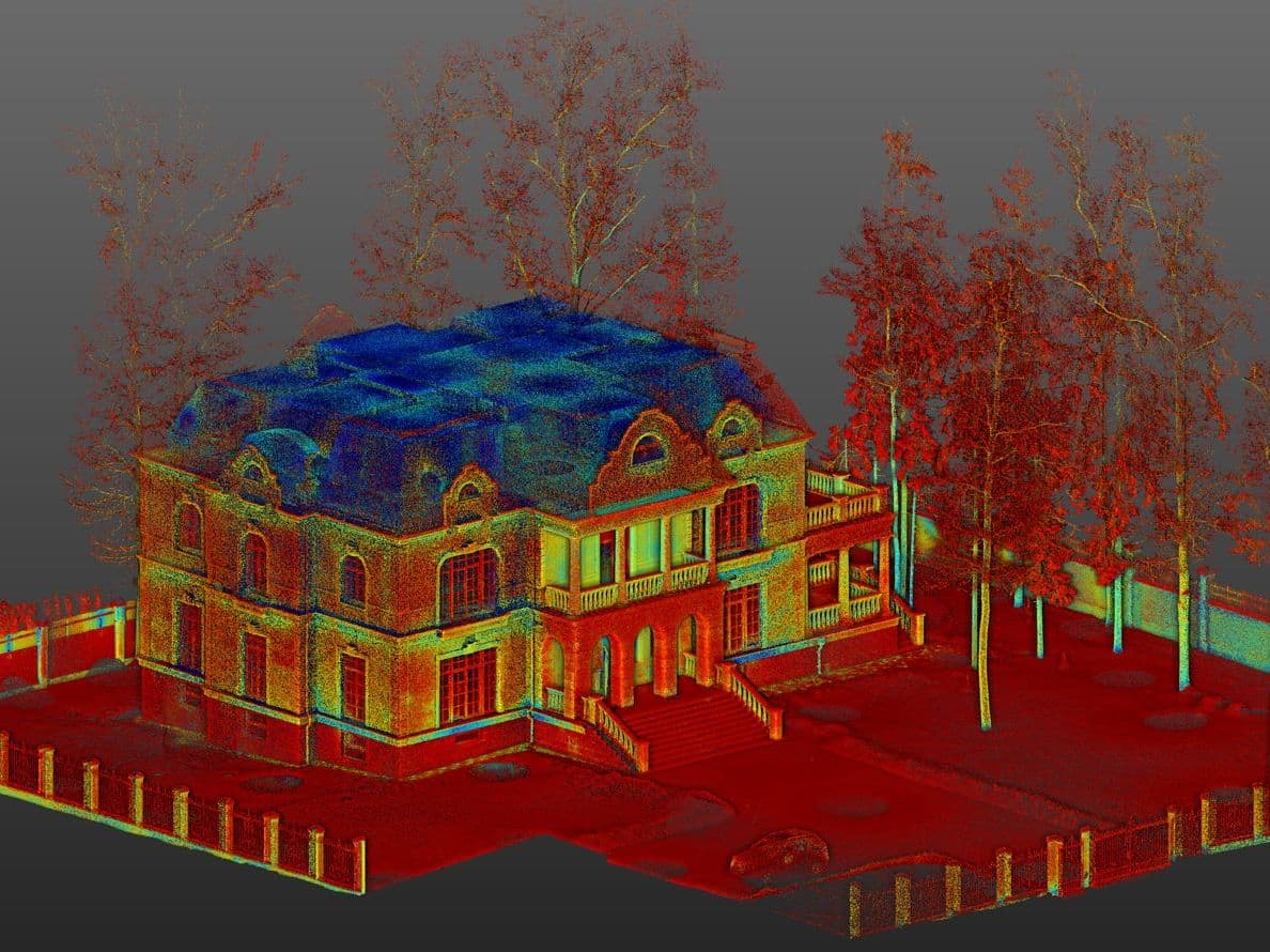
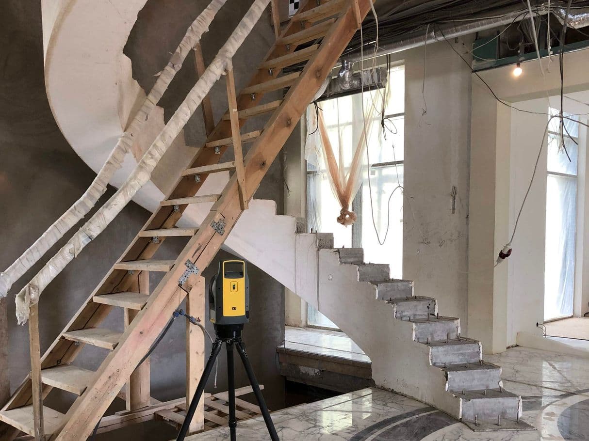
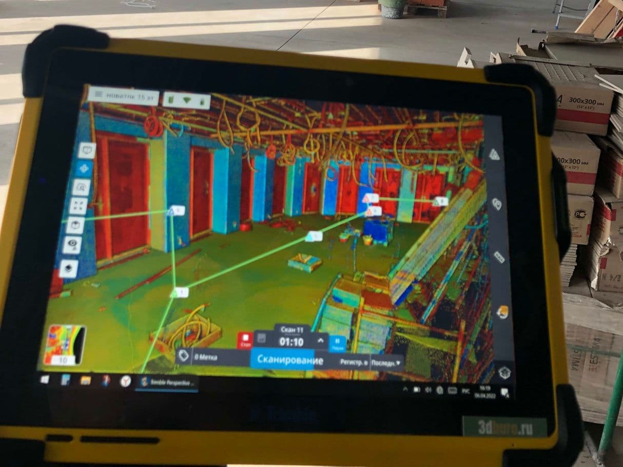
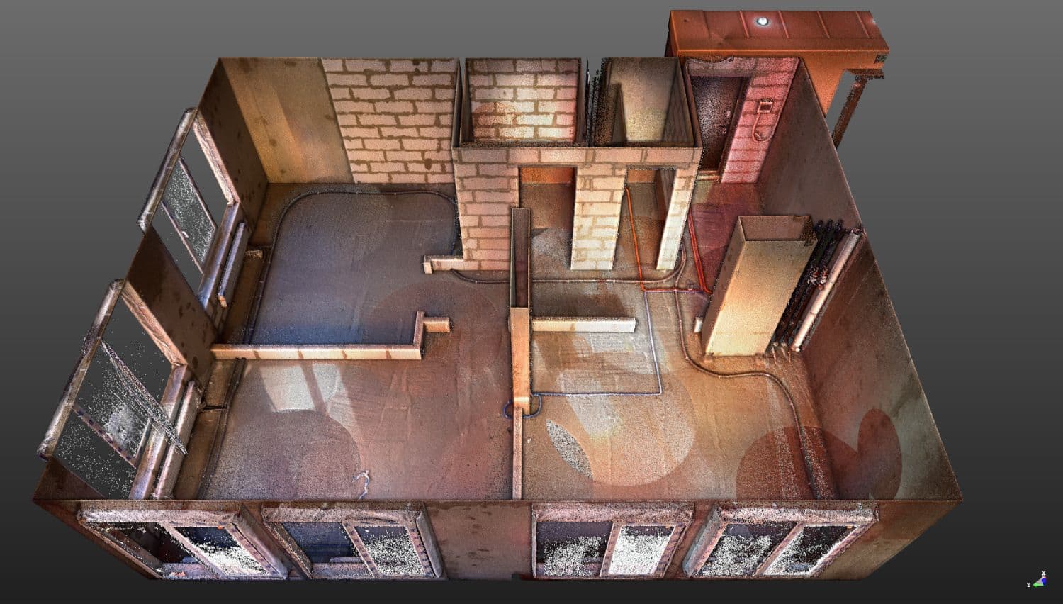
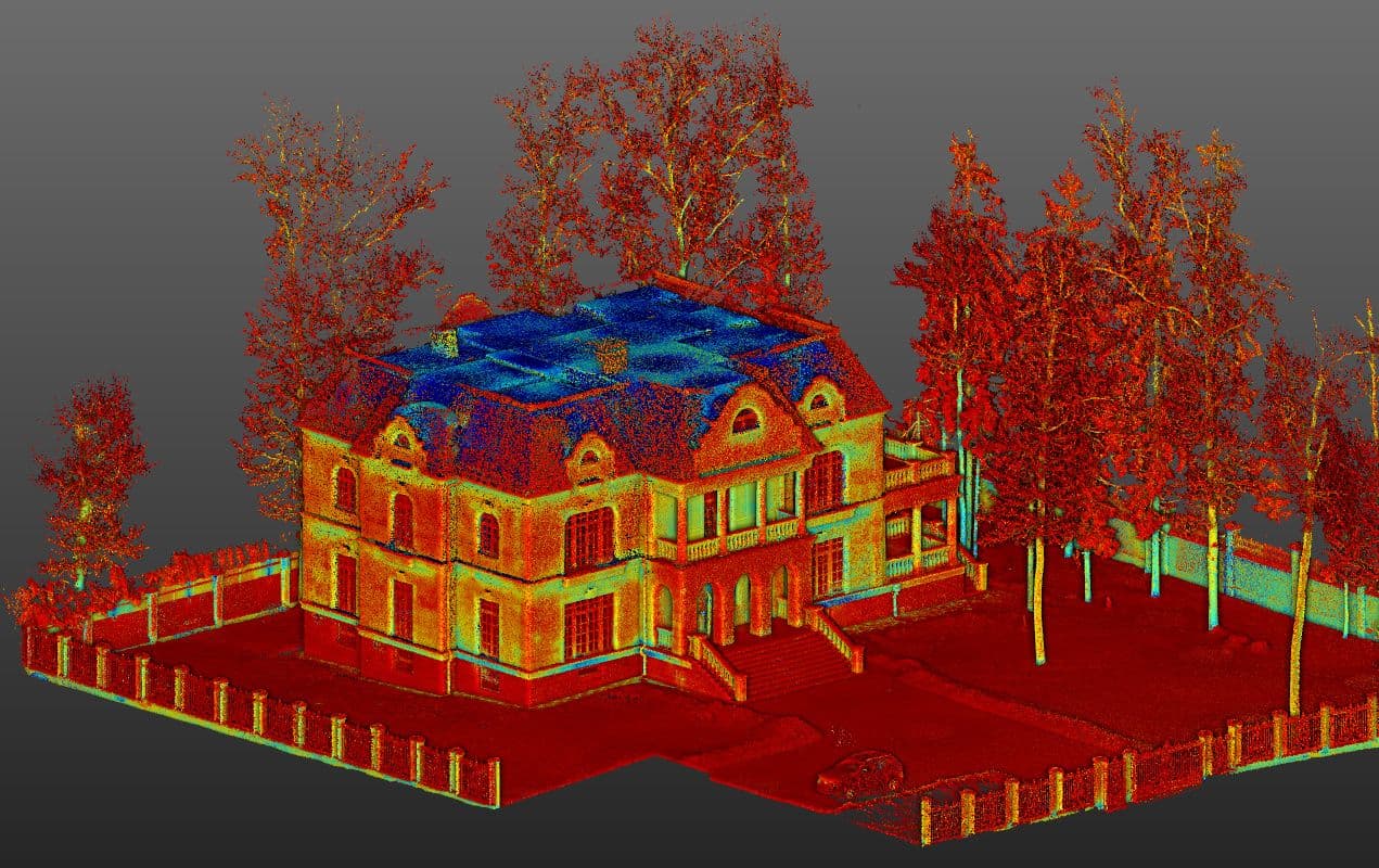
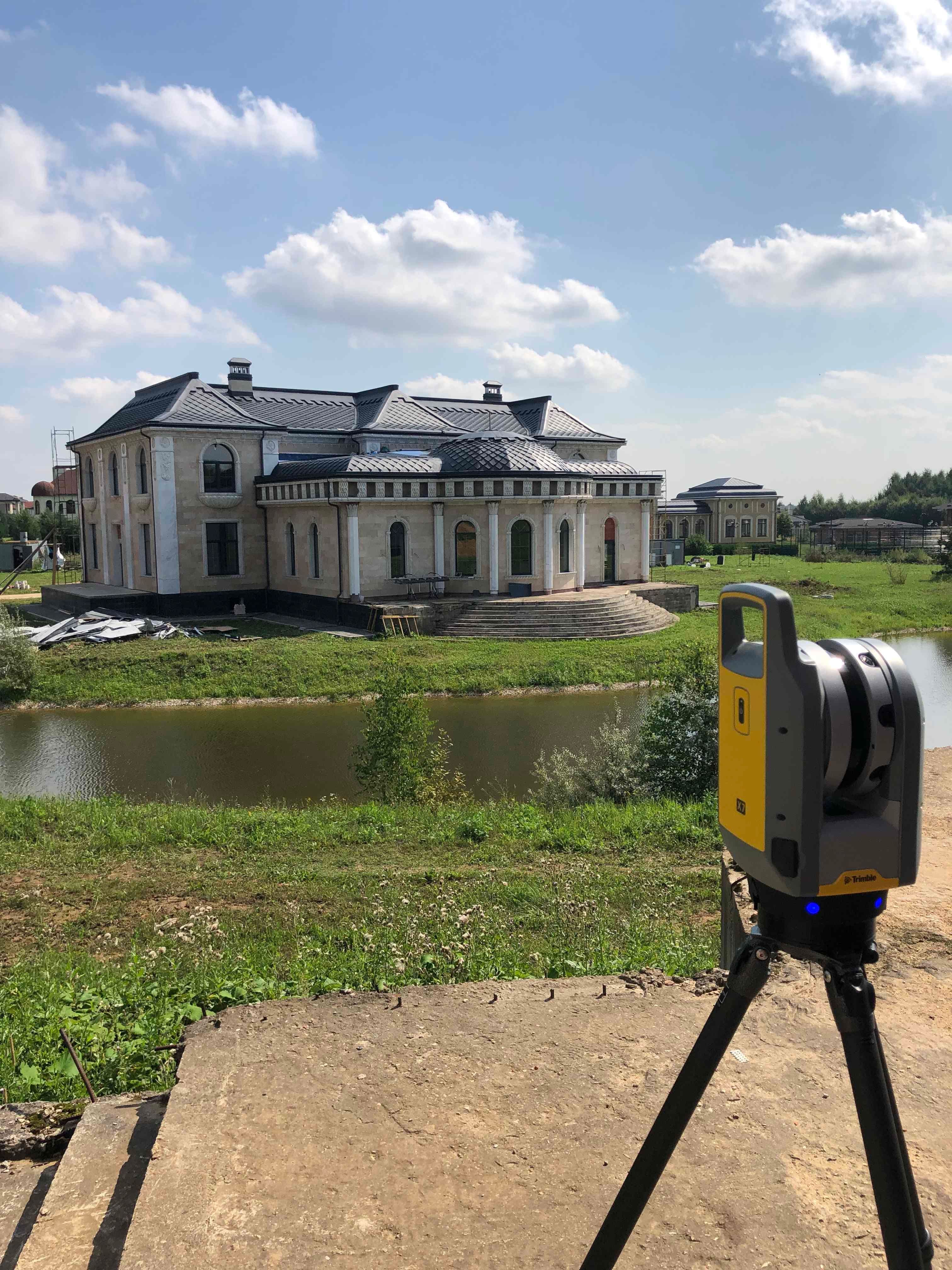
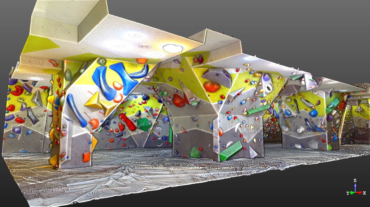
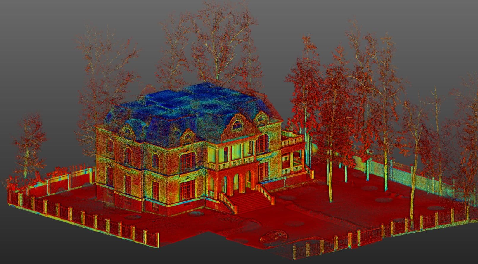
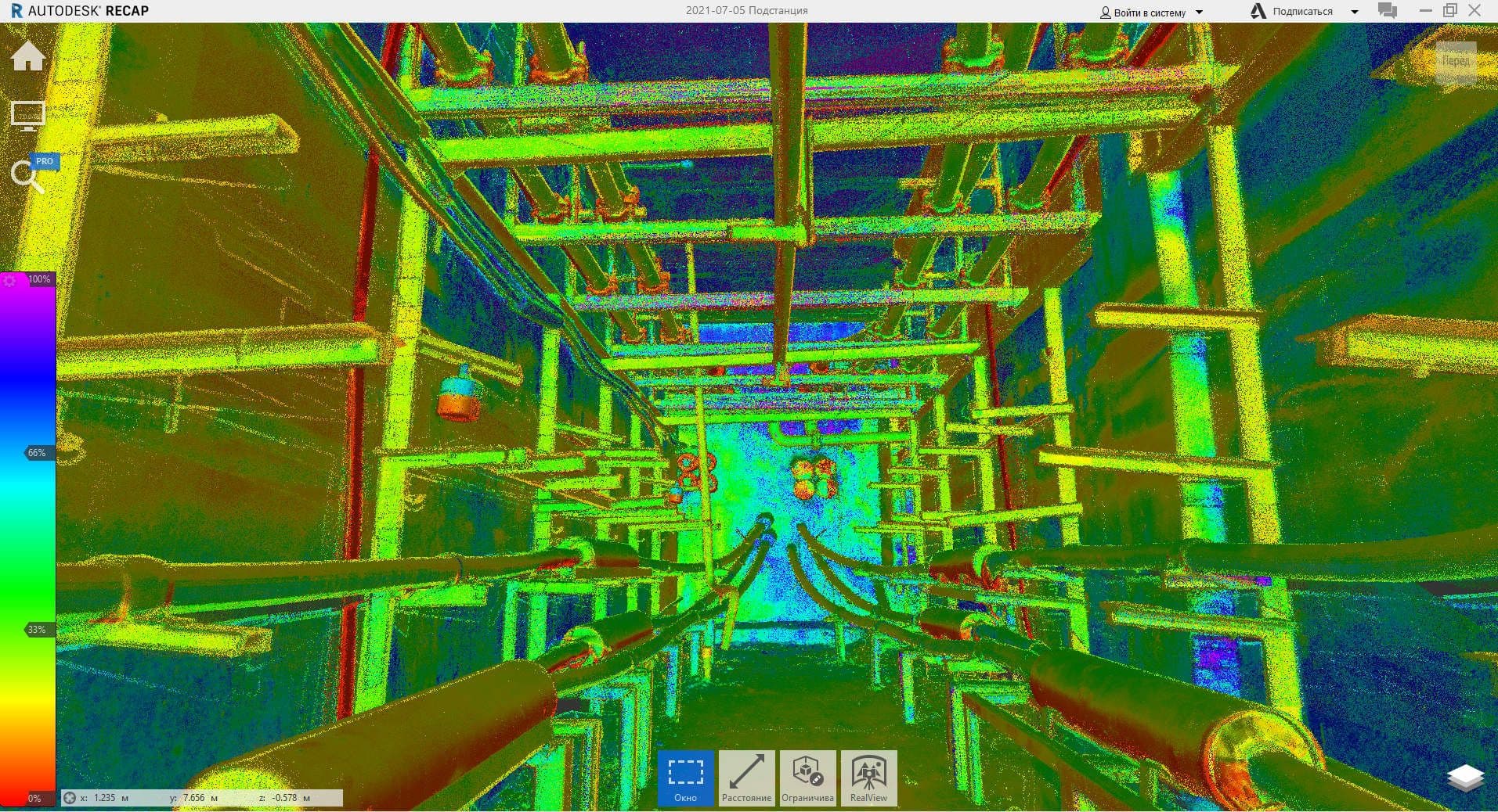
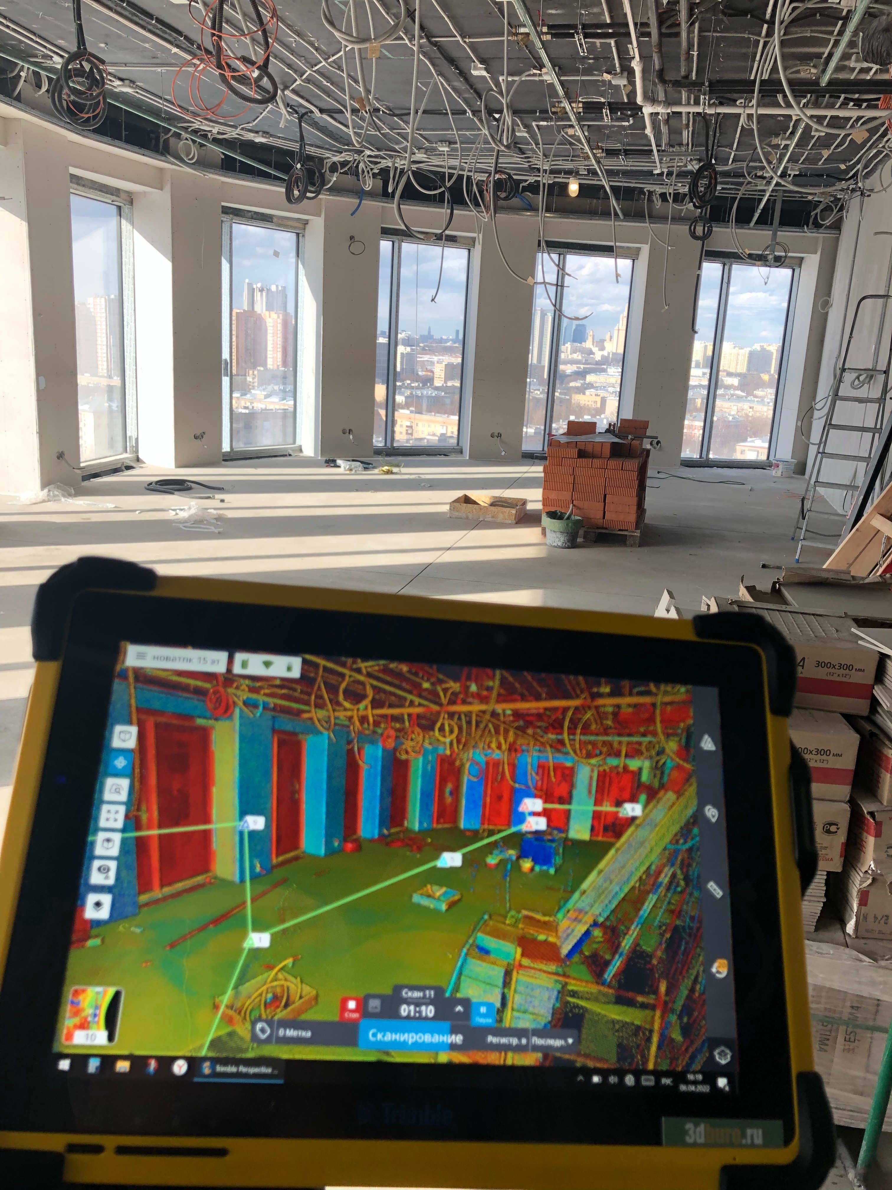
1. A point cloud is a virtual model of a facility, consisting of more than a billion coordinated points.
Features of a point cloud:
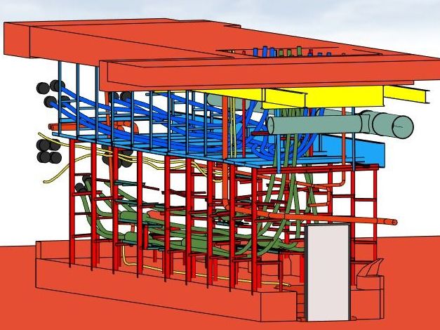
- Colored/uncolored
- Georeferenced to any coordinate system
- Cleaned/uncleaned, for example, from trees, shrubs, foreign objects, mirror reflections, glass, etc.
- Registered (stitched)
- Refined (equaled). To check the quality of our work, we provide a report on the registration of the point cloud indicating the acceptable parameters for docking point clouds.
- Classified - divided into layers: outdoor (buildings, trees, land, etc.) and indoor (floor, ceiling, walls, etc.)
The point cloud is available in any of the following formats:
RCP (Autodesk: AutoCAD, Revit, ReCap, Civil3D, Navisworks)
E57 (universal format, suitable for ArchiCAD)
LAS / LAZ
XYZ / PLY
PTX / PTS (Leica)
POD (Bentley)
TZF / TDX (Trimble)
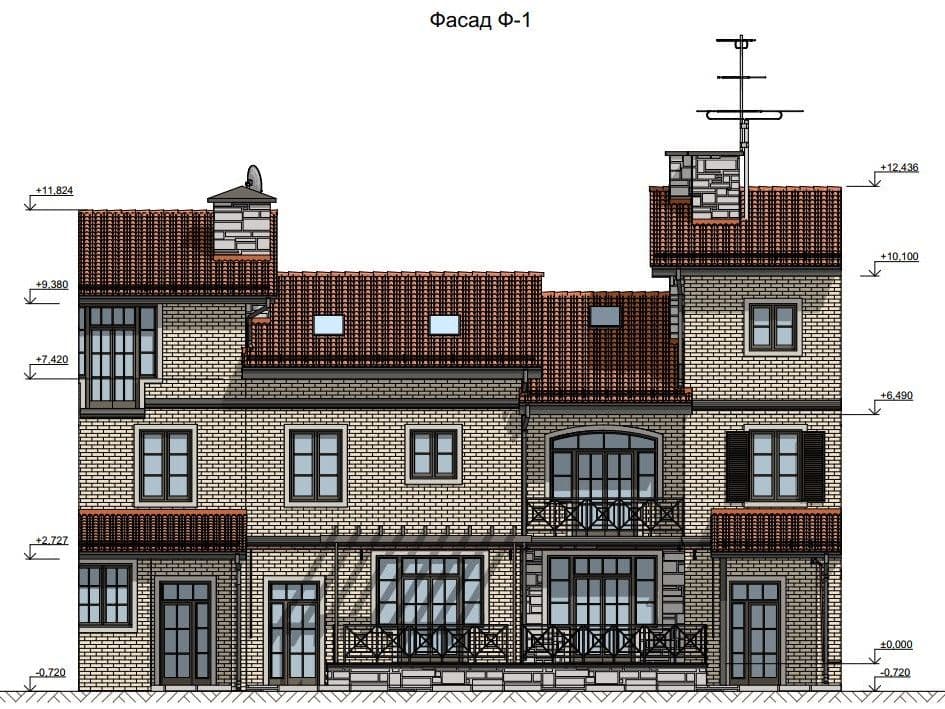
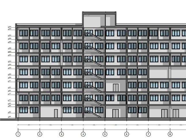
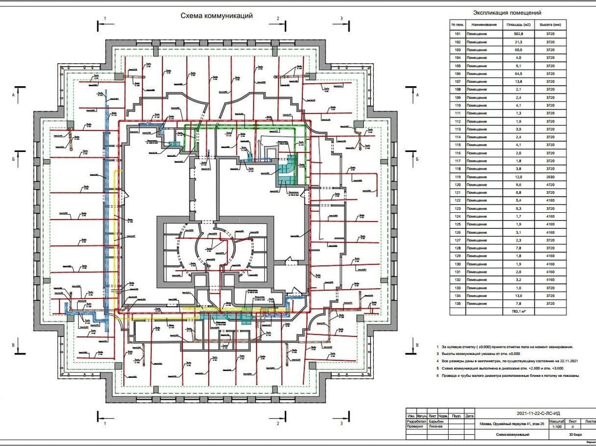
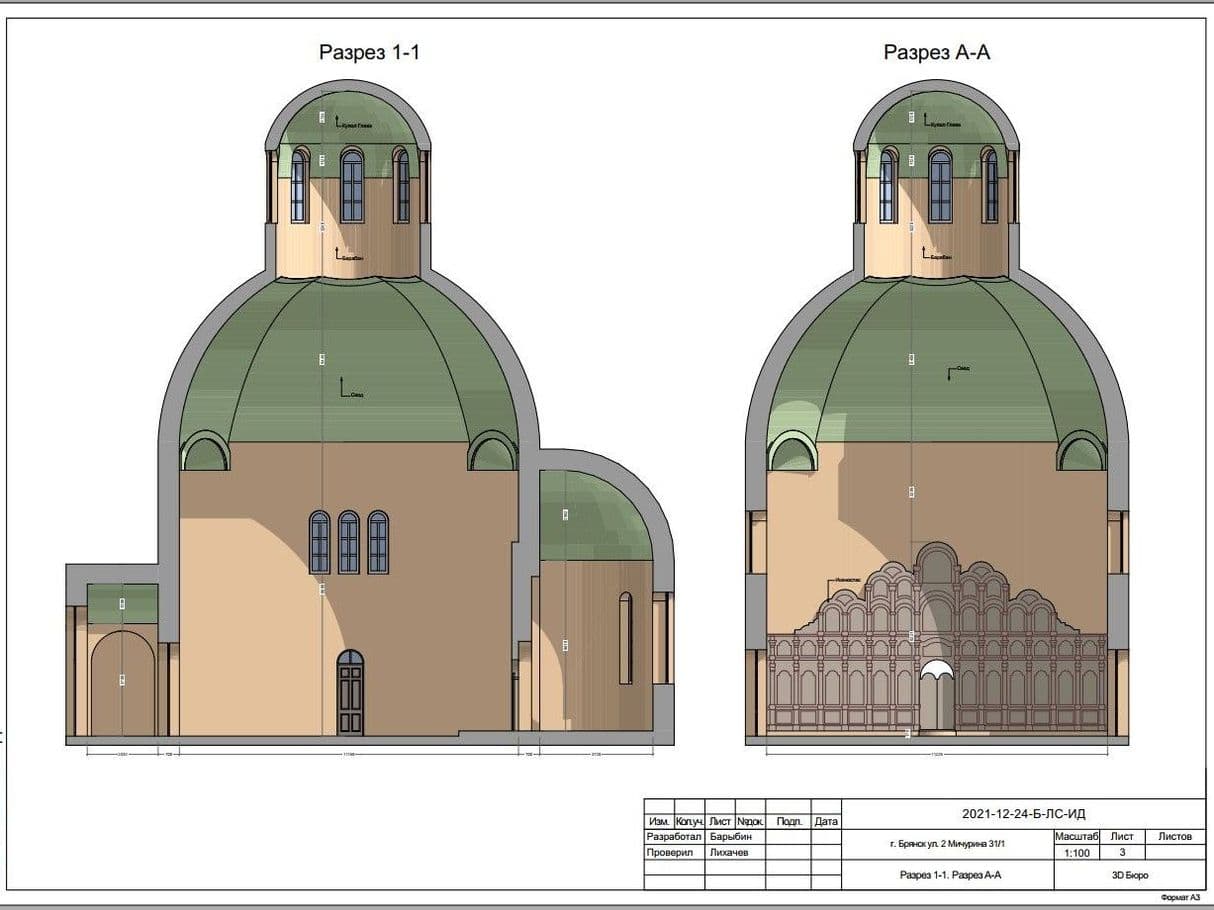
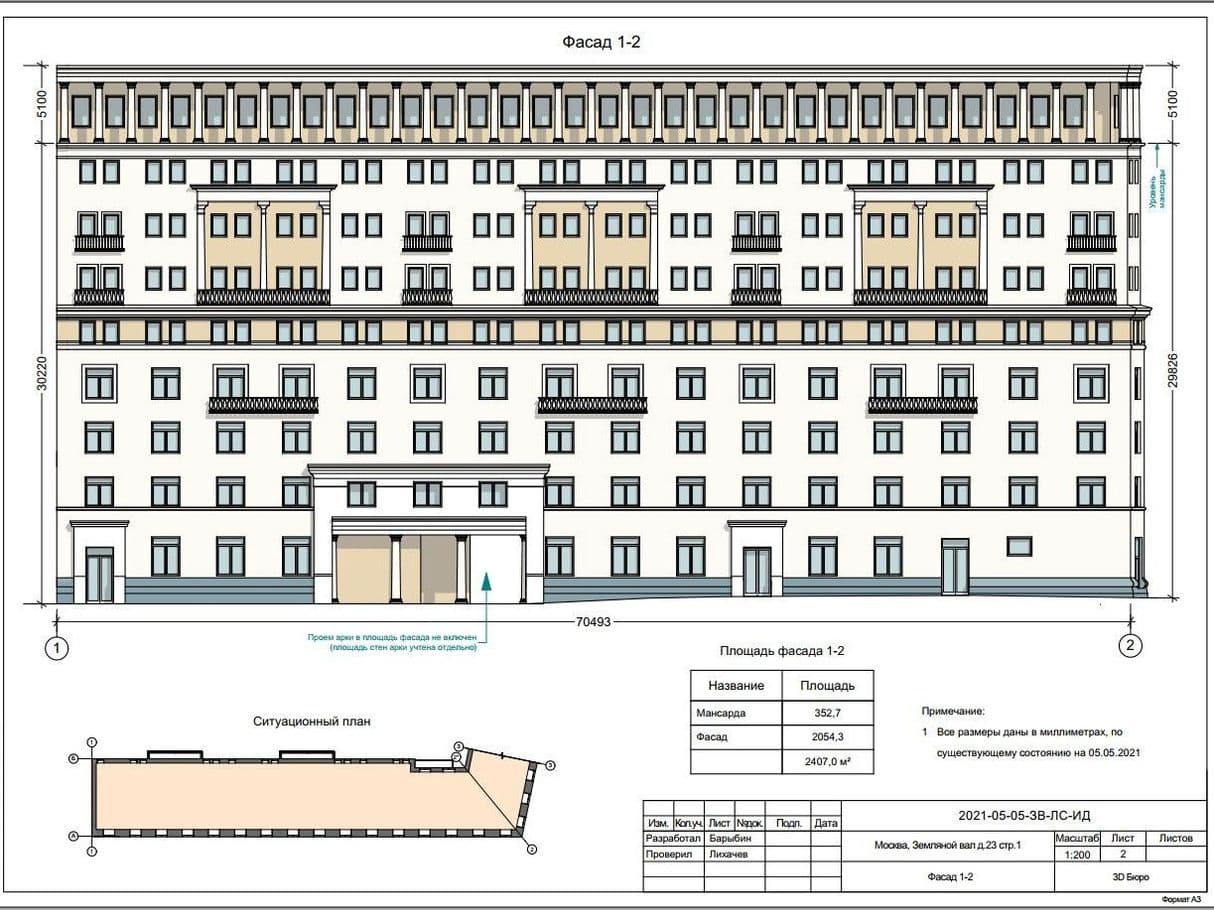
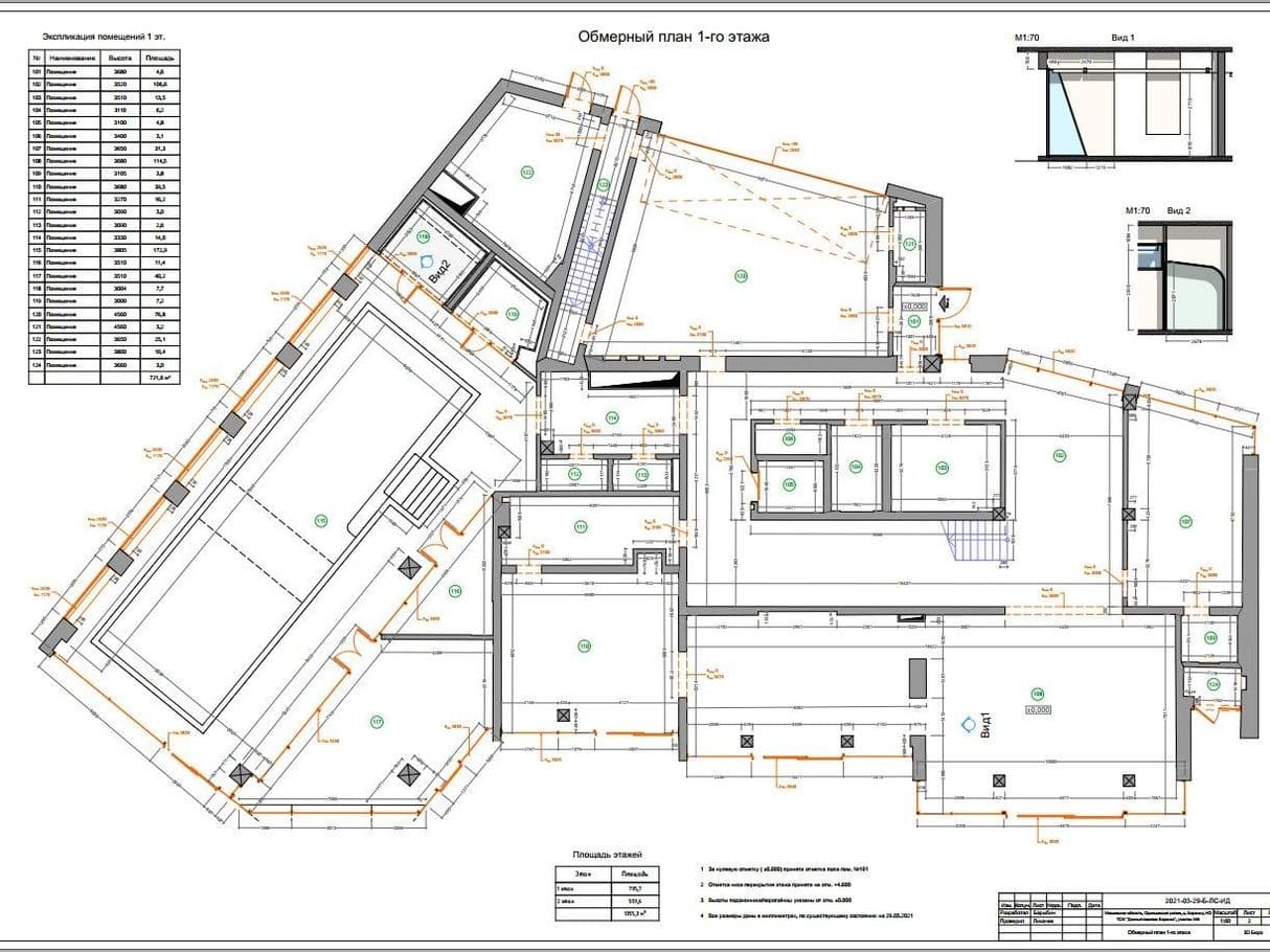
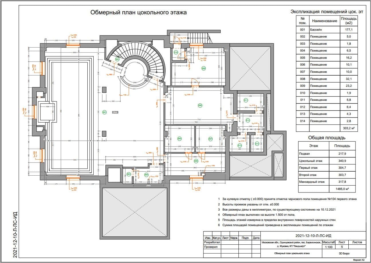
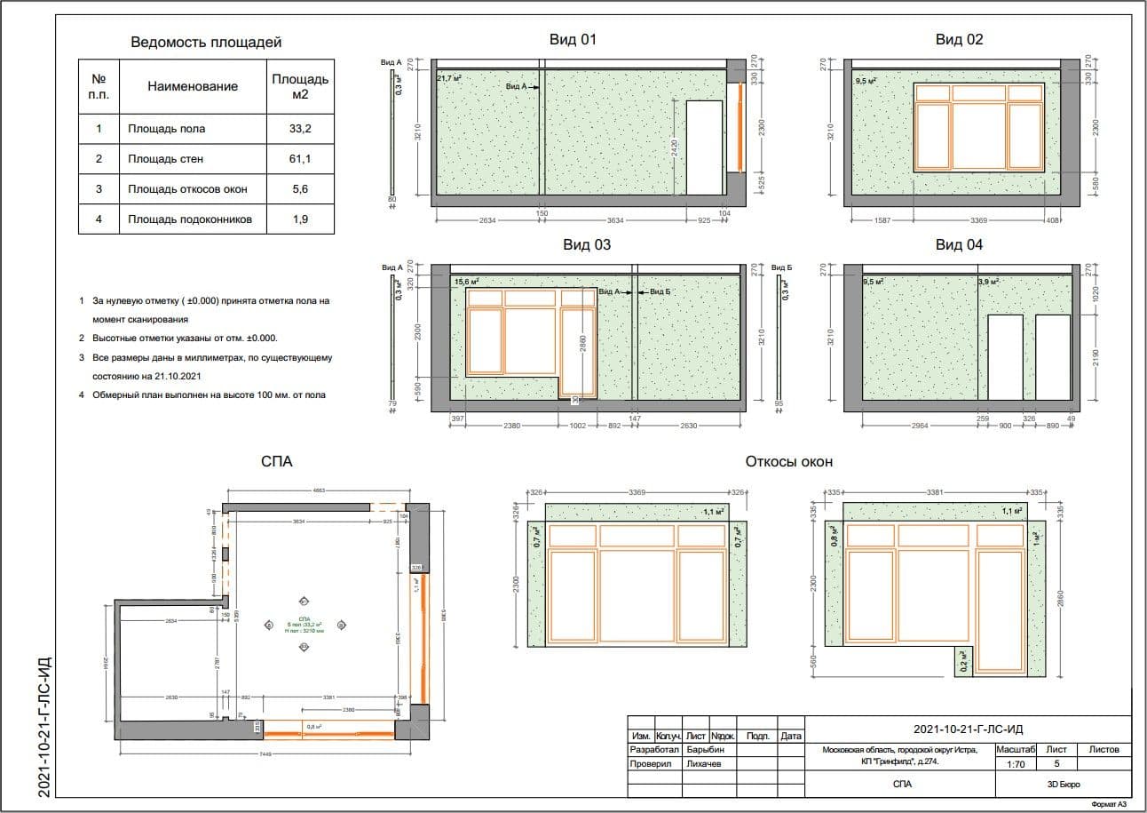
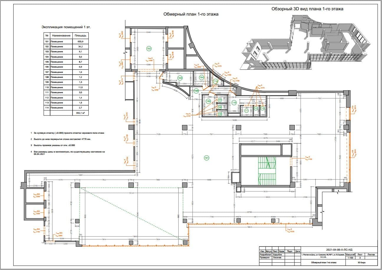
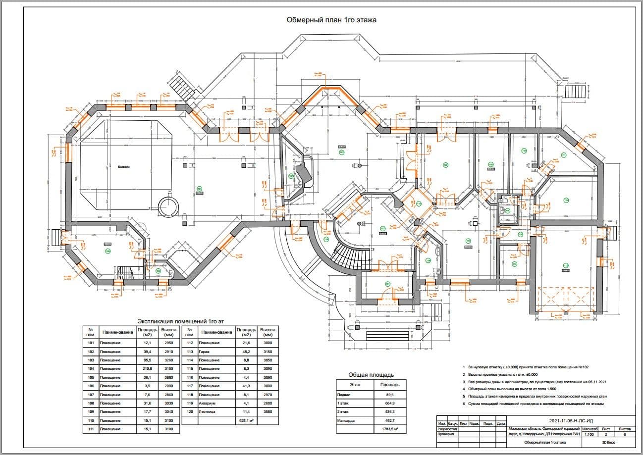
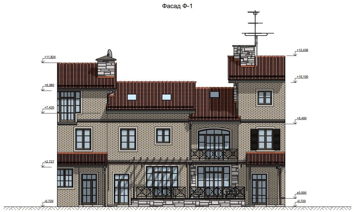
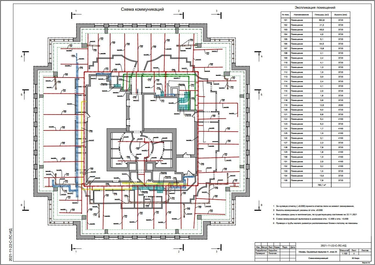
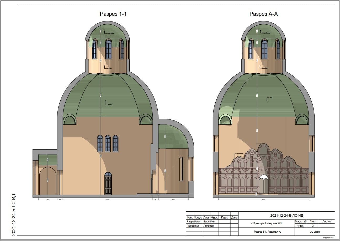
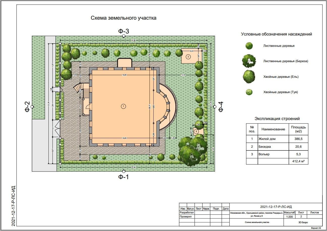
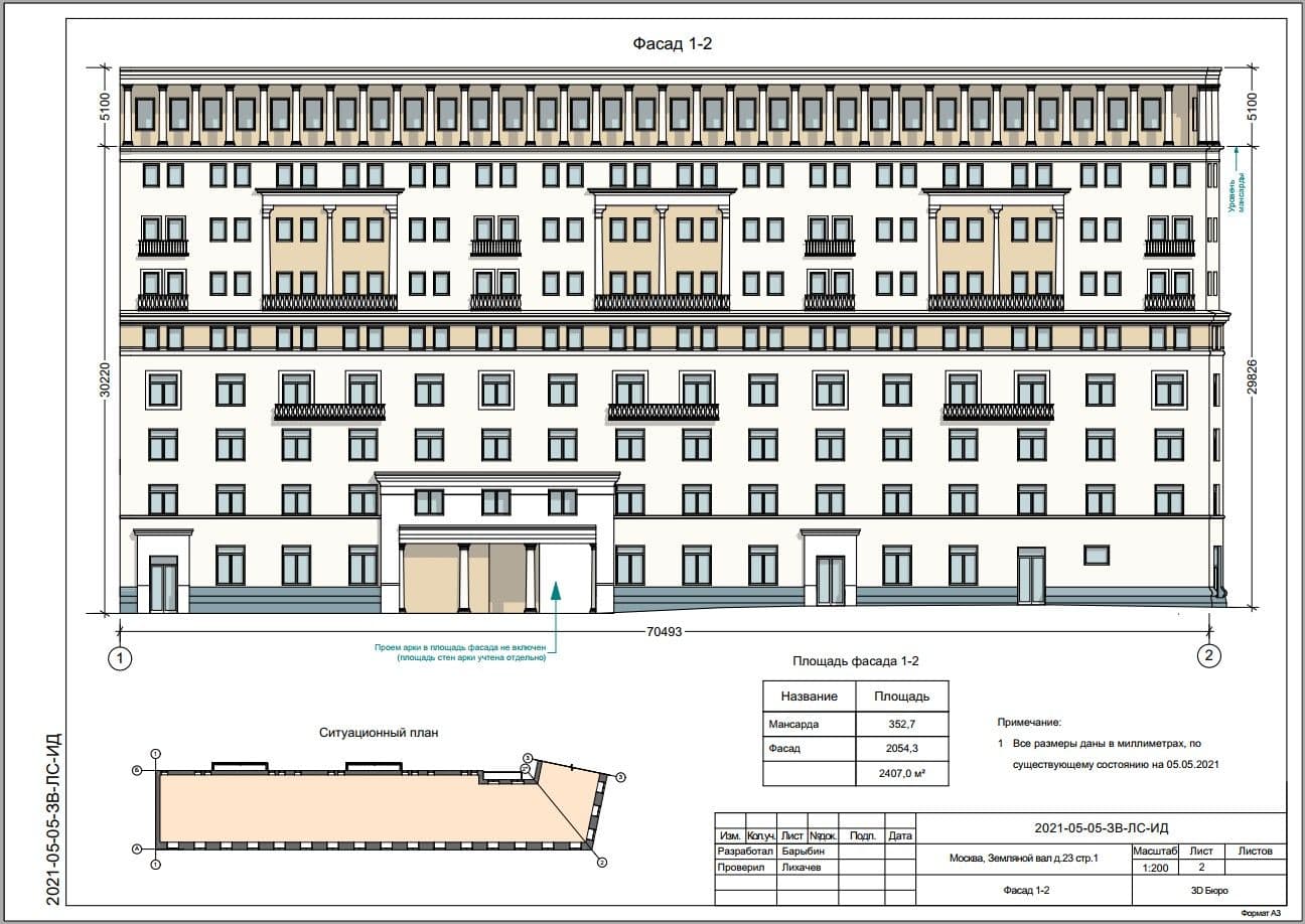
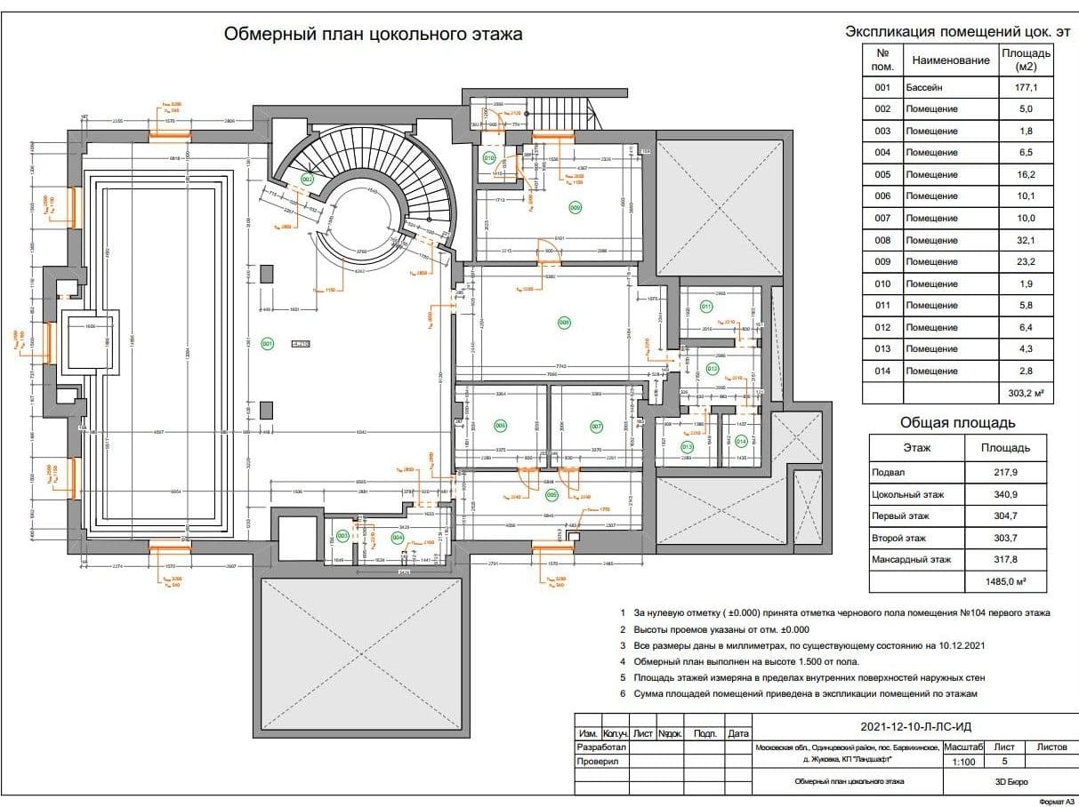
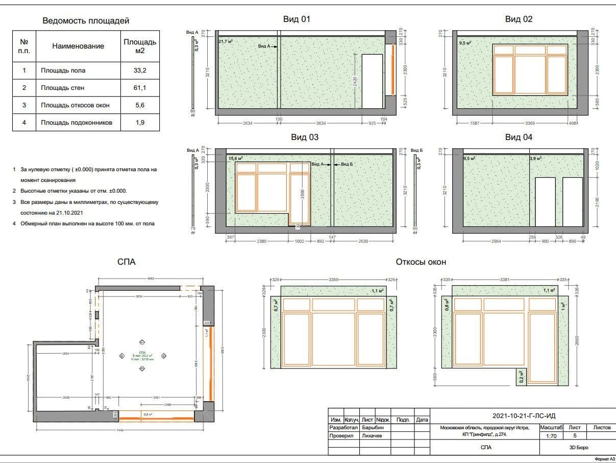
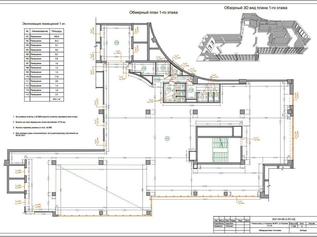
2. Set of blueprints:
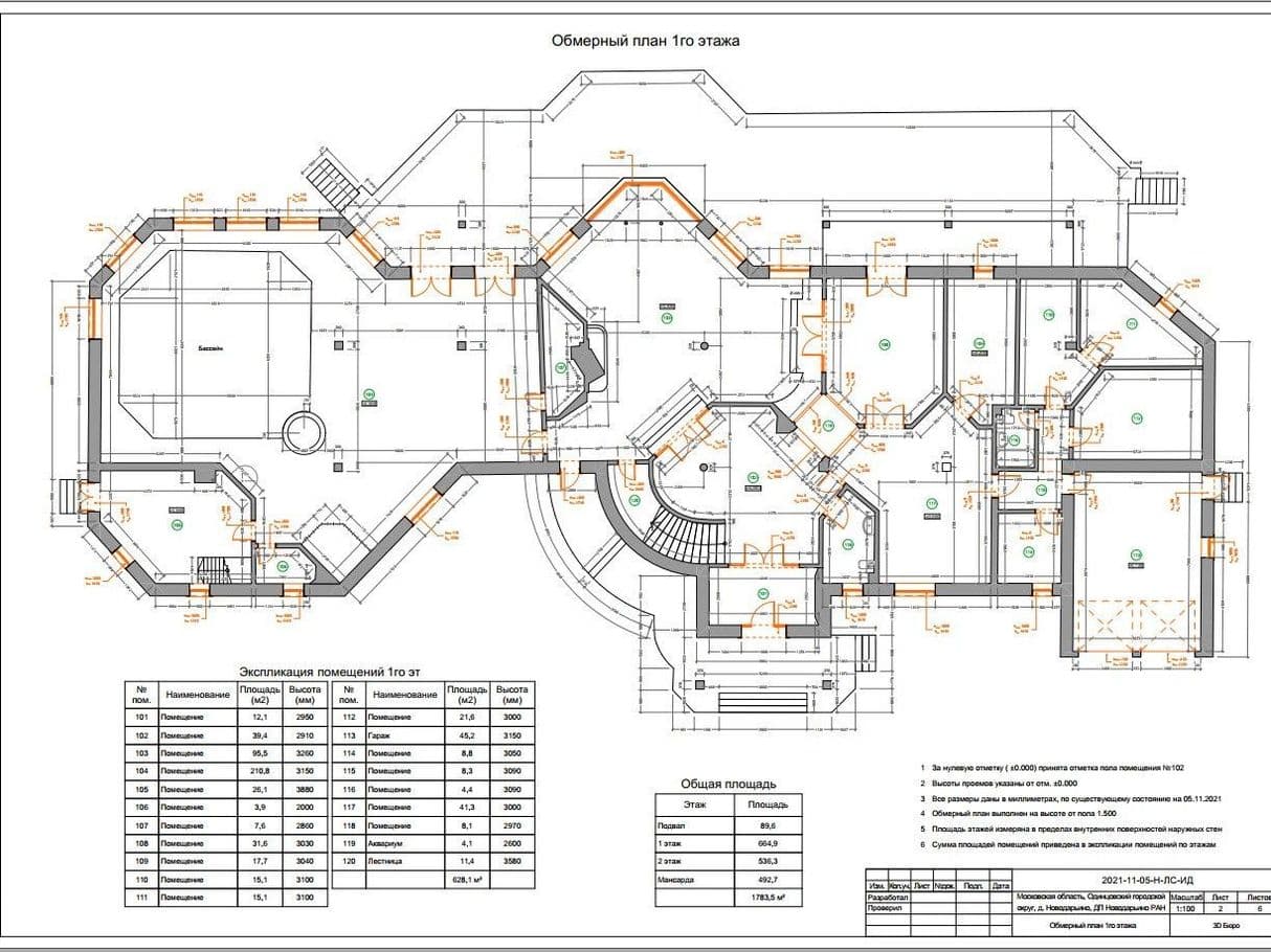
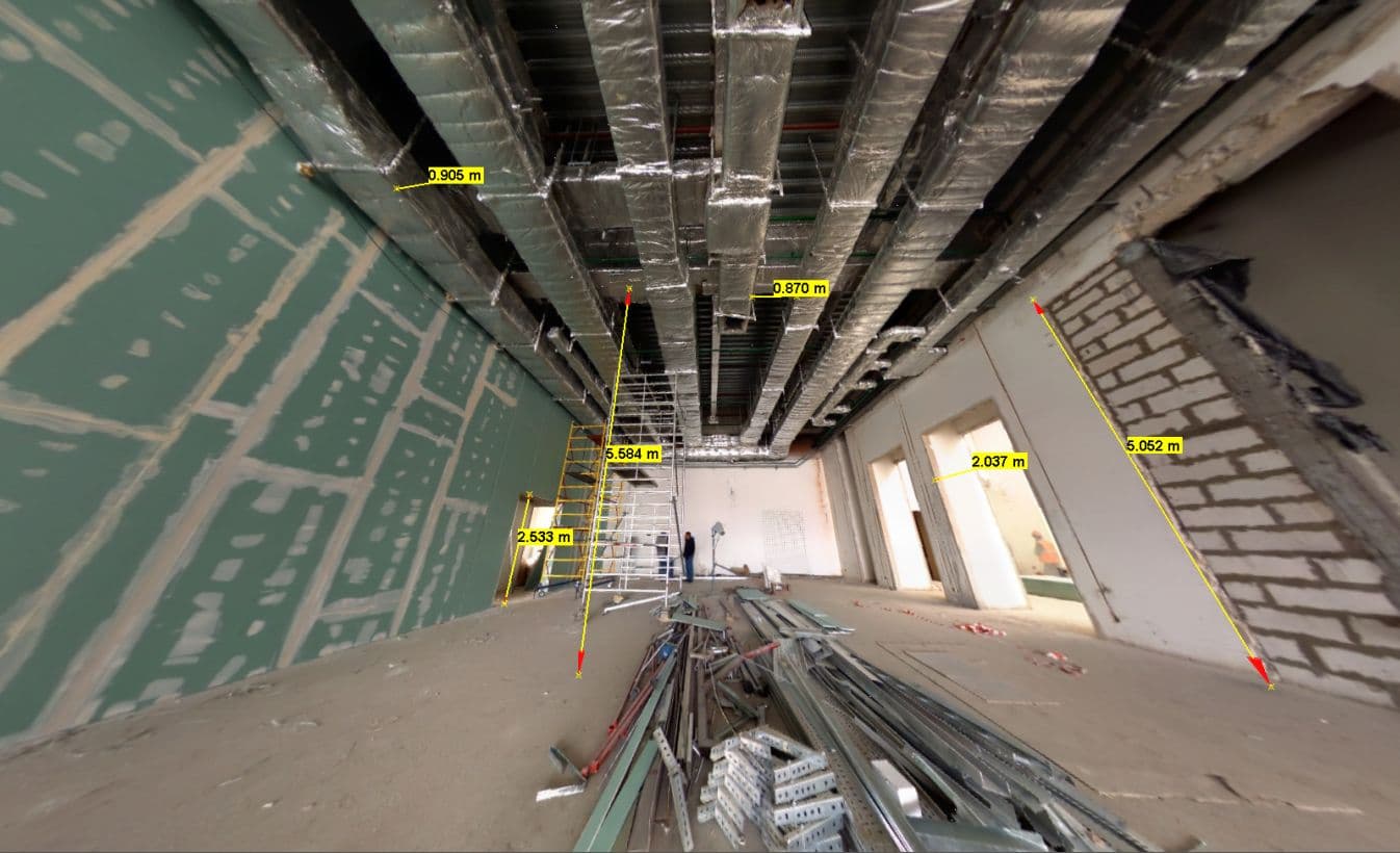
- The measurement plan includes all measurements of structural elements, all heights of doorways, windows, niches, beams, and also a list with floor areas
- Communication plans (plumbing, electrics, ventilation, heating, etc.)
- Sweeps, views, sections, ceiling and roof plans
Blueprints are provided in any of the following formats:
AutoCAD
ArchiCAD
SketchUp
PDF
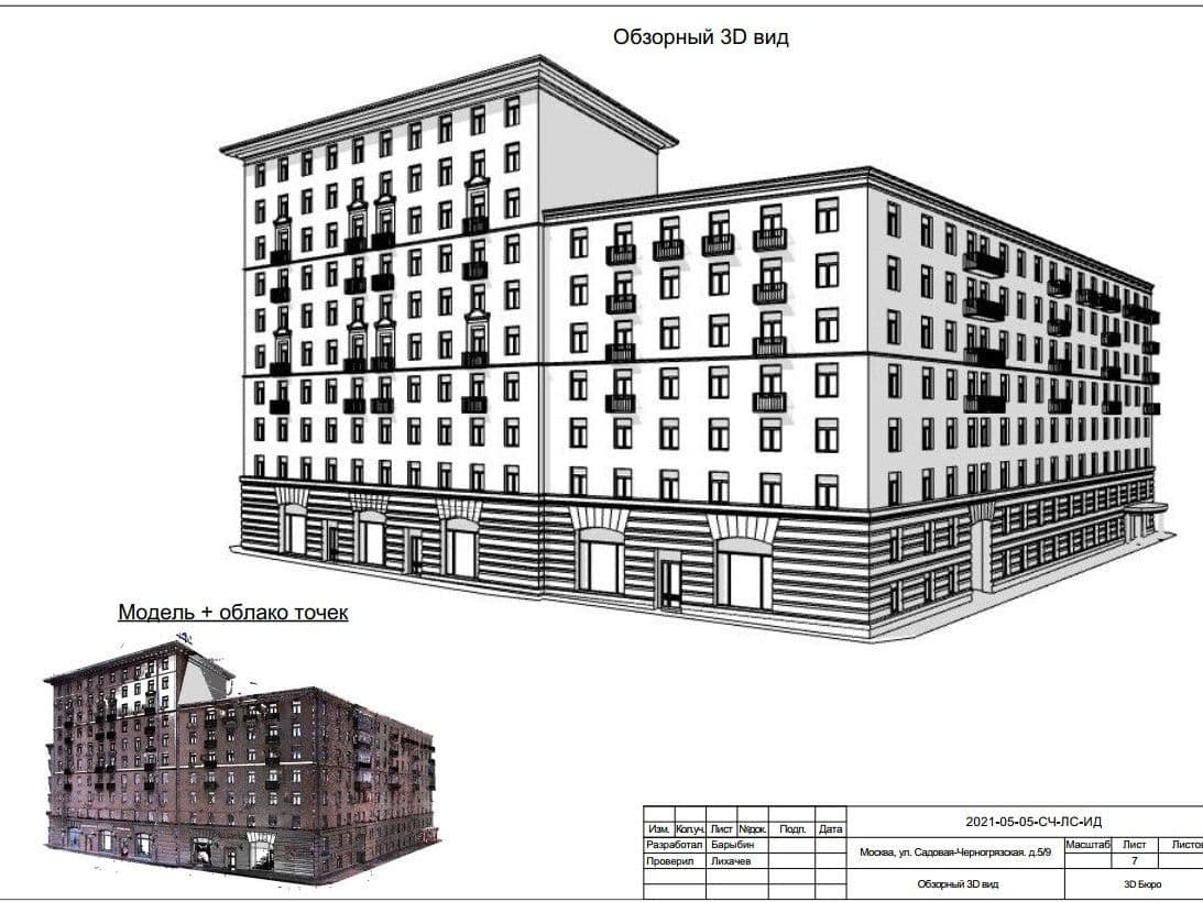
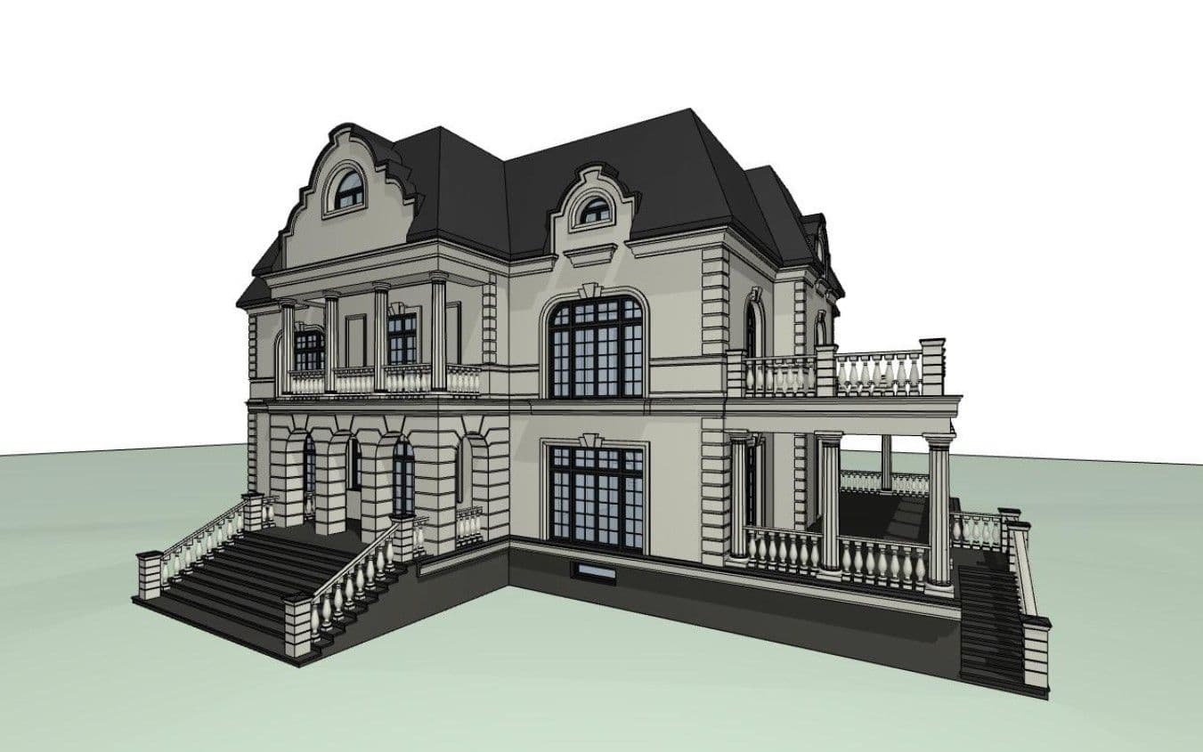
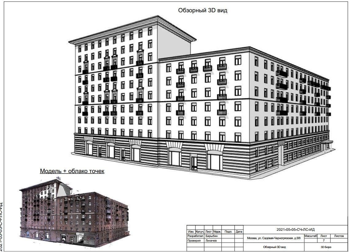
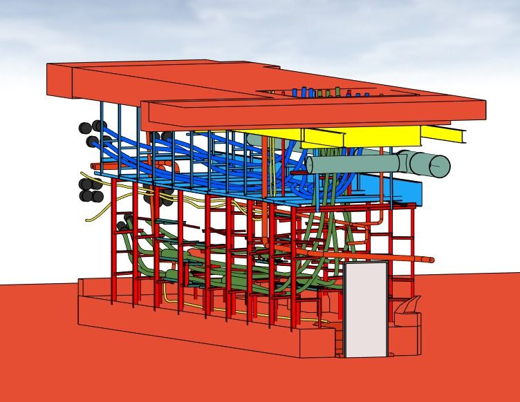
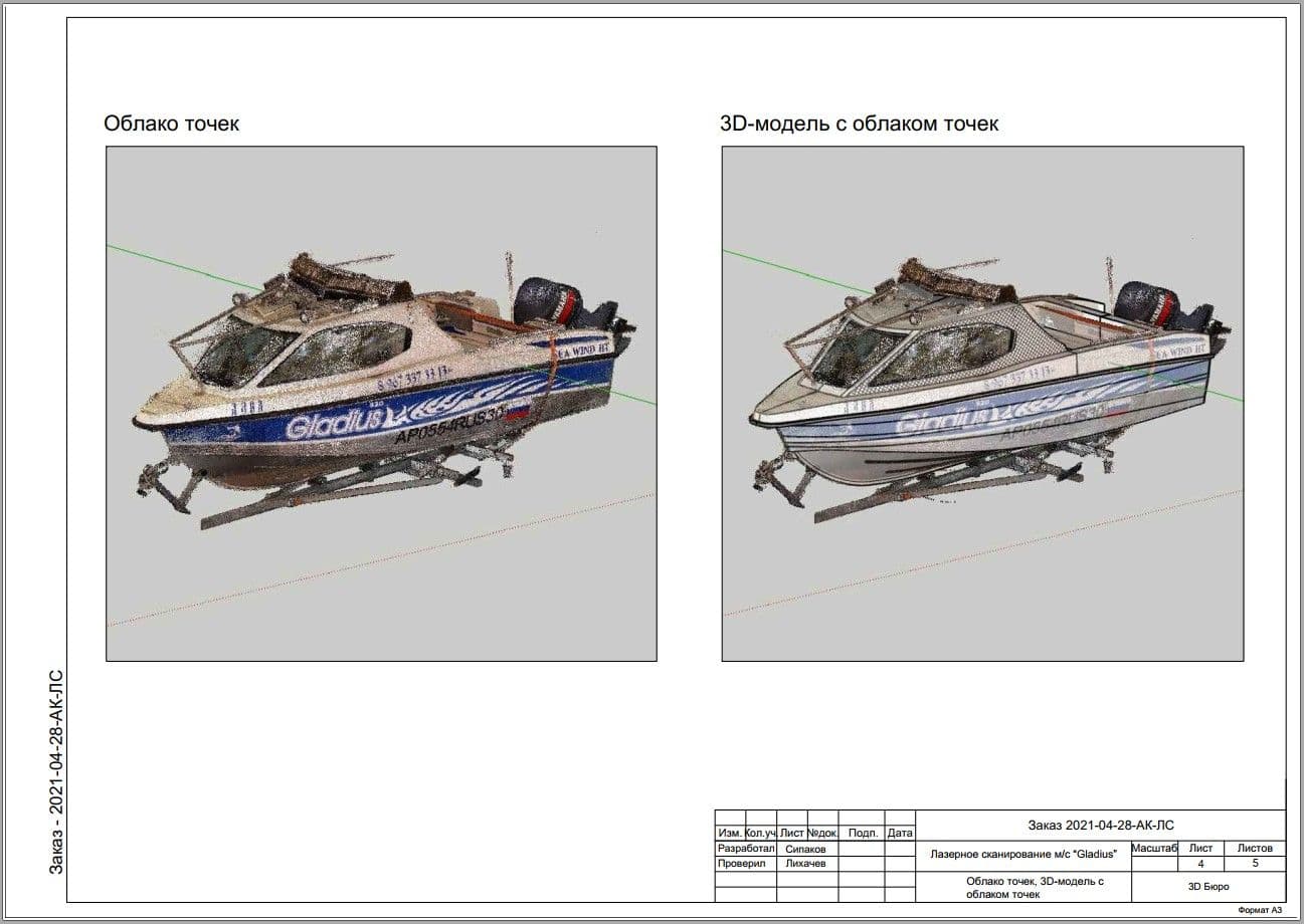
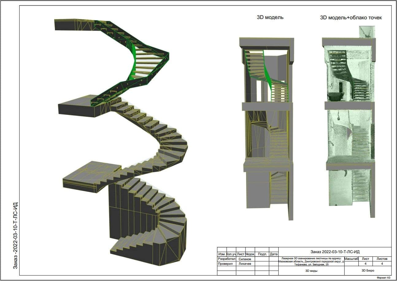
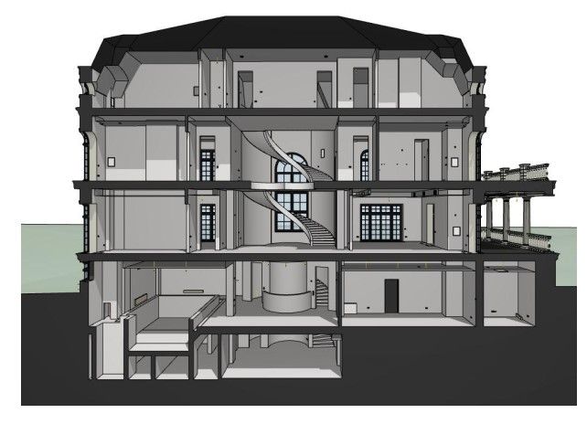
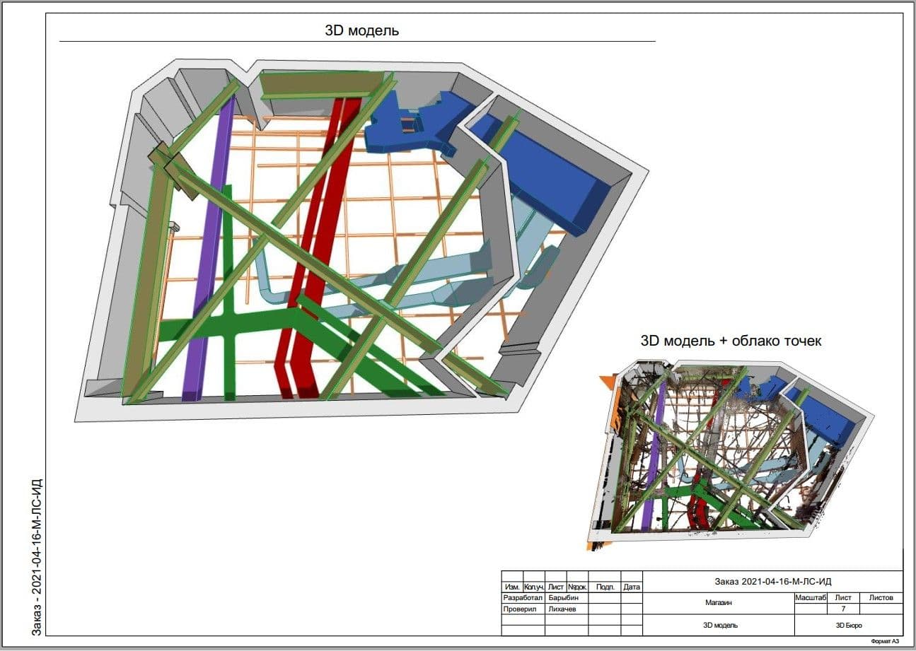
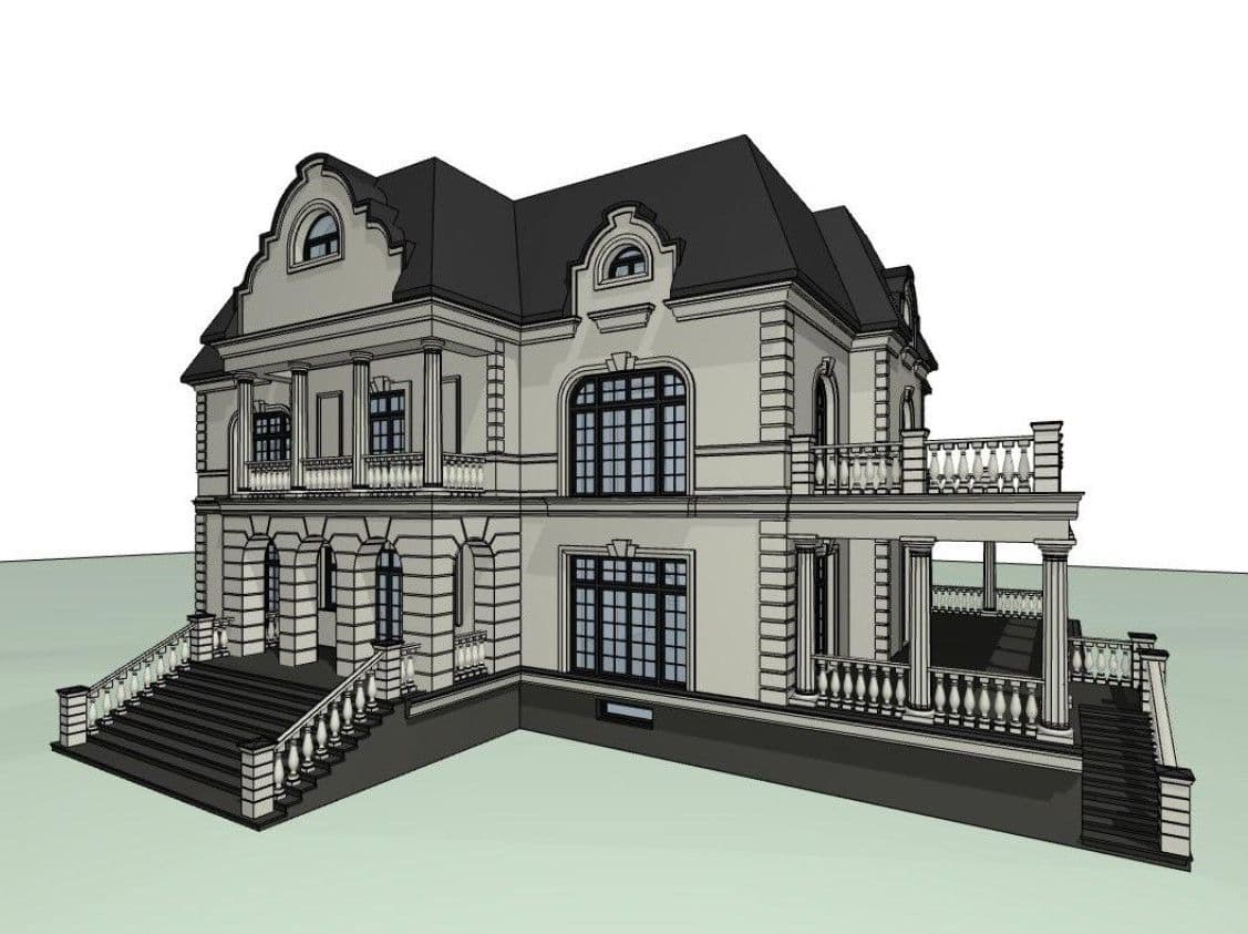
3. 3D model and BIM model
The model is provided with the required level of detail (LOD).
The model is available in any of the following formats:
AutoCAD
ArchiCAD
Revit
Renga
SketchUp
3DS MAX
Tekla
Aveva
Civil3D
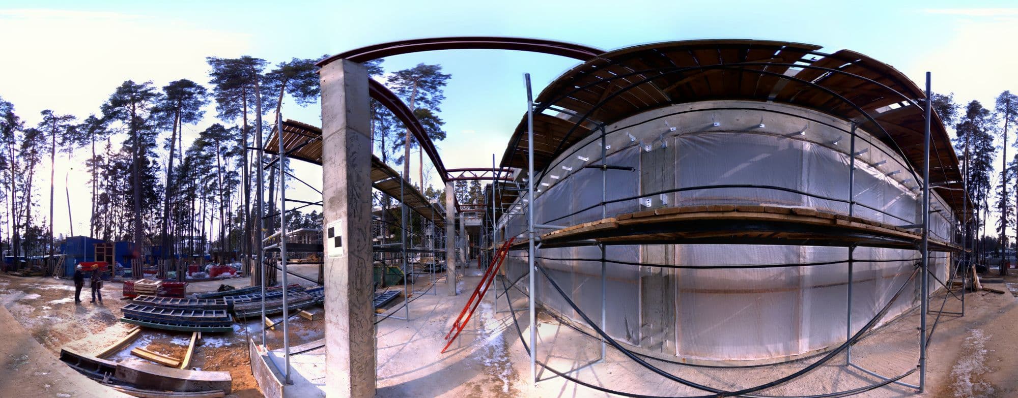
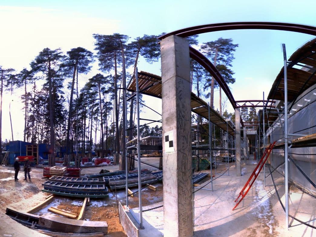
4. Photo fixation and Photo panoramas of the facility.
It is necessary for getting acquainted with the facility and clarifying the details. Available in: jpeg.
Features of a point cloud:
- Colored/uncolored
- Georeferenced to any coordinate system
- Cleaned/uncleaned, for example, from trees, shrubs, foreign objects, mirror reflections, glass, etc.
- Registered (stitched)
- Refined (equaled). To check the quality of our work, we provide a report on the registration of the point cloud indicating the acceptable parameters for docking point clouds.
- Classified - divided into layers: outdoor (buildings, trees, land, etc.) and indoor (floor, ceiling, walls, etc.)
The point cloud is available in any of the following formats:
RCP (Autodesk: AutoCAD, Revit, ReCap, Civil3D, Navisworks)
E57 (universal format, suitable for ArchiCAD)
LAS / LAZ
XYZ / PLY
PTX / PTS (Leica)
POD (Bentley)
TZF / TDX (Trimble)
2. Set of blueprints:
- Communication plans (plumbing, electrics, ventilation, heating, etc.)
- Sweeps, views, sections, ceiling and roof plans
Blueprints are provided in any of the following formats:
AutoCAD
ArchiCAD
SketchUp
3. 3D model and BIM model
The model is provided with the required level of detail (LOD).
The model is available in any of the following formats:
AutoCAD
ArchiCAD
Revit
Renga
SketchUp
3DS MAX
Tekla
Aveva
Civil3D
It is necessary for getting acquainted with the facility and clarifying the details. Available in: jpeg.
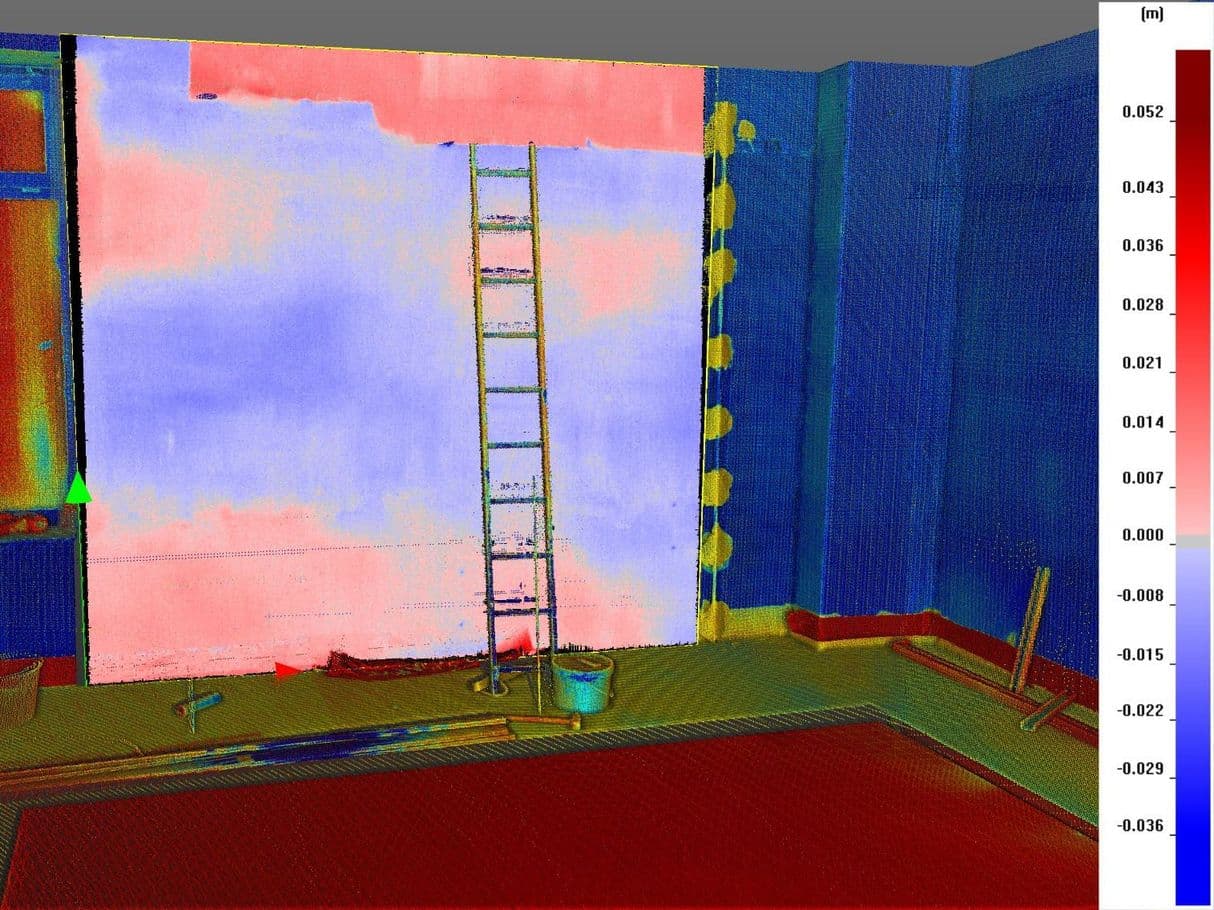
5. Project deviation report, vertical and horizontal deviation report.
The reports are provided in any of the following formats:
tiff
jpeg
dwg
doc
The reports are provided in any of the following formats:
tiff
jpeg
dwg
doc
All files are transferred through cloud storage.
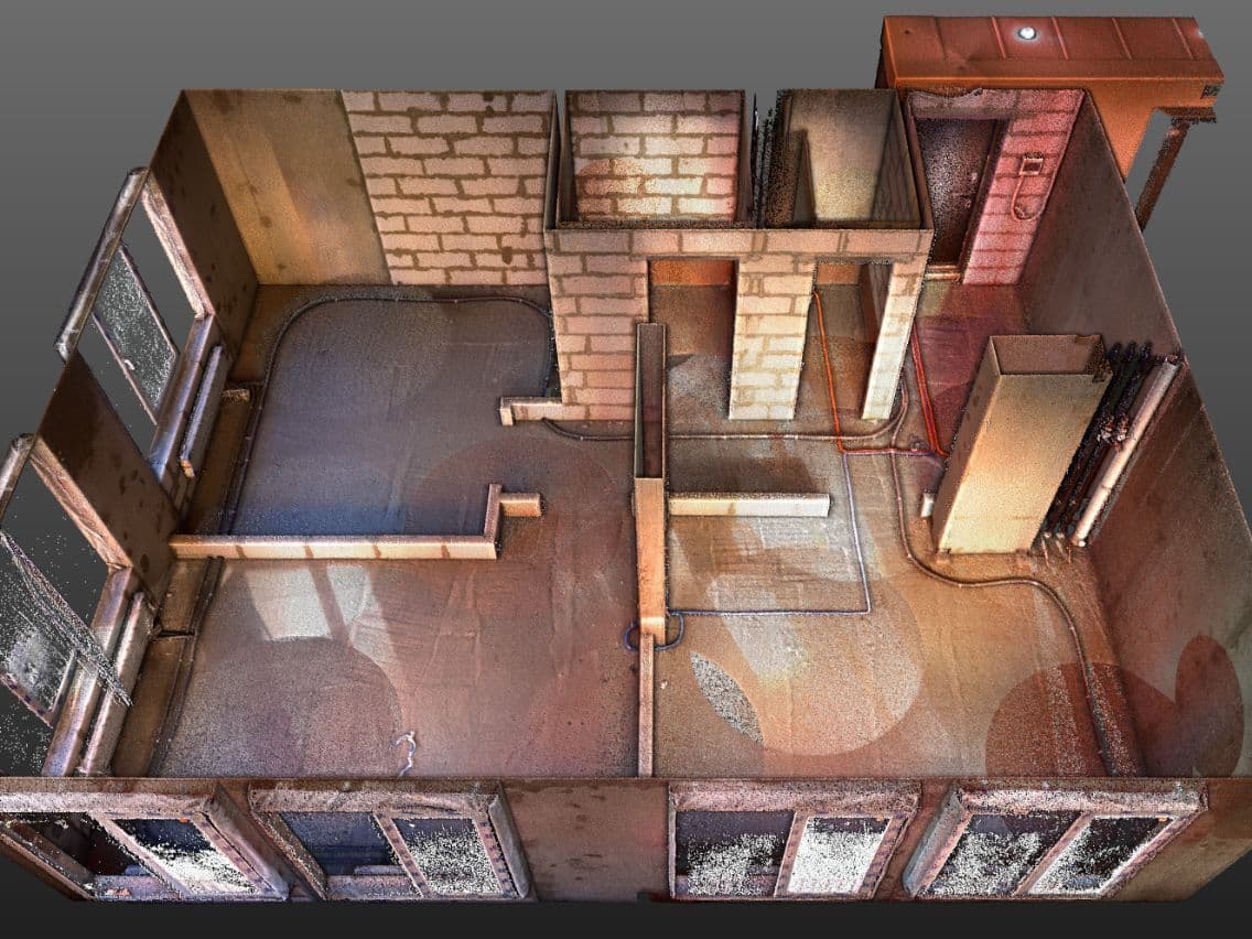
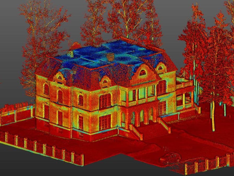
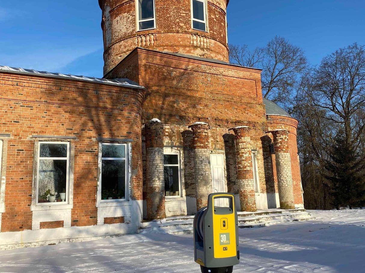
Examples of work


